Laoag International Airport
| Laoag International Airport Sangalubongan a Pagpatayaban ti Laoag Paliparang Pandaigdig ng Laoag | |||||||||||
|---|---|---|---|---|---|---|---|---|---|---|---|
|
Exterior of Laoag International Airport | |||||||||||
| IATA: LAO – ICAO: RPLI | |||||||||||
| Summary | |||||||||||
| Airport type | Public | ||||||||||
| Operator | Civil Aviation Authority of the Philippines | ||||||||||
| Serves | Laoag | ||||||||||
| Location | Barangay 43 (Cavit), Laoag City, Ilocos Norte, Philippines | ||||||||||
| Time zone | PHT (UTC+08:00) | ||||||||||
| Elevation AMSL | 5 m / 16 ft | ||||||||||
| Coordinates | 18°10′41″N 120°31′54″E / 18.17806°N 120.53167°ECoordinates: 18°10′41″N 120°31′54″E / 18.17806°N 120.53167°E | ||||||||||
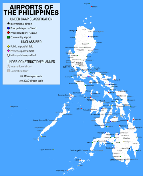
| Map | |||||||||||
.svg.png) LAO/RPLI Location in the Philippines | |||||||||||
| Runways | |||||||||||
| |||||||||||
| Statistics (2014) | |||||||||||
| |||||||||||
|
Statistics from the Civil Aviation Authority of the Philippines.[1] | |||||||||||

Laoag International Airport (Filipino: Paliparang Pandaigdig ng Laoag, Ilokano: Sangalubongan a Pagpatayaban ti Laoag) (IATA: LAO, ICAO: RPLI) is the main airport serving the general area of Laoag, the capital city of the province of Ilocos Norte in the Philippines. It is the only airport in Ilocos Norte and is the northernmost international airport in the Philippines by geographical location. The airport is a popular charter destination for tourists from China.
It has one 2,420-meter runway[2] and is designated as a secondary/alternate international airport by the Air Transportation Office, a body of the Department of Transportation and Communications that is responsible for the operations of not only this airport but also of all other airports in the Philippines except the major international airports.[3]
Airlines and destinations
| Airlines | Destinations |
|---|---|
| Cebgo | Manila |
| China Eastern Airlines | Guangzhou |
| Philippine Airlines operated by PAL Express | Manila |
| Sky Pasada | Basco[4] |
References
![]() This article incorporates public domain material from the Air Force Historical Research Agency website http://www.afhra.af.mil/.
This article incorporates public domain material from the Air Force Historical Research Agency website http://www.afhra.af.mil/.
- ↑ "Passenger Statistics 2014". July 23, 2015. Retrieved August 16, 2015.
- ↑ Laoag Airport- Philippine Air Transportation Office
- ↑ National Airports- Philippine Air Transportation Office
- ↑ http://www.skypasada.com/destinations.php
External links
- Laoag International Airport
- Airport information for RPLI at World Aero Data. Data current as of October 2006.Source: DAFIF.
- Current weather for RPLI at NOAA/NWS
- Airport information for LAO / RPLI at Great Circle Mapper. Source: DAFIF (effective October 2006).
- Accident history for LAO / RPLI at Aviation Safety Network