Cagayan de Sulu Airport
| Cagayan de Sulu Mapun Airport Paliparan ng Cagayan de Sulu | |||||||||||
|---|---|---|---|---|---|---|---|---|---|---|---|
| IATA: CDY – ICAO: RPMU | |||||||||||
| Summary | |||||||||||
| Airport type | Community | ||||||||||
| Operator | Civil Aviation Authority of the Philippines | ||||||||||
| Serves | Mapun, Tawi-Tawi | ||||||||||
| Location | Mapun, Tawi-Tawi | ||||||||||
| Elevation AMSL | 34 m / 113 ft | ||||||||||
| Coordinates | 07°00′49″N 118°29′42″E / 7.01361°N 118.49500°ECoordinates: 07°00′49″N 118°29′42″E / 7.01361°N 118.49500°E | ||||||||||
| Map | |||||||||||
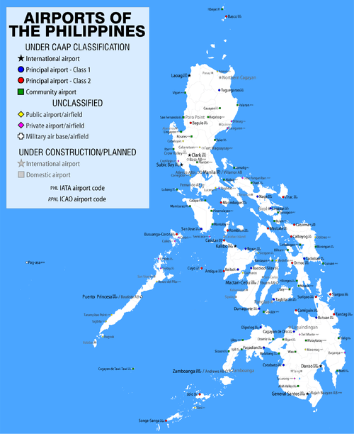
.svg.png) CDY/RPMU Location in the Philippines | |||||||||||
| Runways | |||||||||||
| |||||||||||
Cagayan de Sulu Airport (Filipino: Paliparan ng Cagayan de Sulu, Cebuano: Tugpahanan sa Mapun) (IATA: CDY, ICAO: RPMU), also known as Mapun Airport is a remote community airport located in the island and municipality of Mapun, Tawi-Tawi. It is classified as a community airport by the Civil Aviation Authority of the Philippines.
References
This article is issued from Wikipedia - version of the 8/15/2016. The text is available under the Creative Commons Attribution/Share Alike but additional terms may apply for the media files.
