Malaybalay Airport
| Malaybalay Airport | |||||||||||
|---|---|---|---|---|---|---|---|---|---|---|---|
| IATA: MBY – ICAO: RPMY | |||||||||||
| Summary | |||||||||||
| Airport type | Public | ||||||||||
| Serves | Malaybalay | ||||||||||
| Location | Casisang, Malaybalay, Philippines | ||||||||||
| Elevation AMSL | 2,011 ft / 613 m | ||||||||||
| Coordinates | 8°8′26″N 125°07′09″E / 8.14056°N 125.11917°E | ||||||||||
| Map | |||||||||||
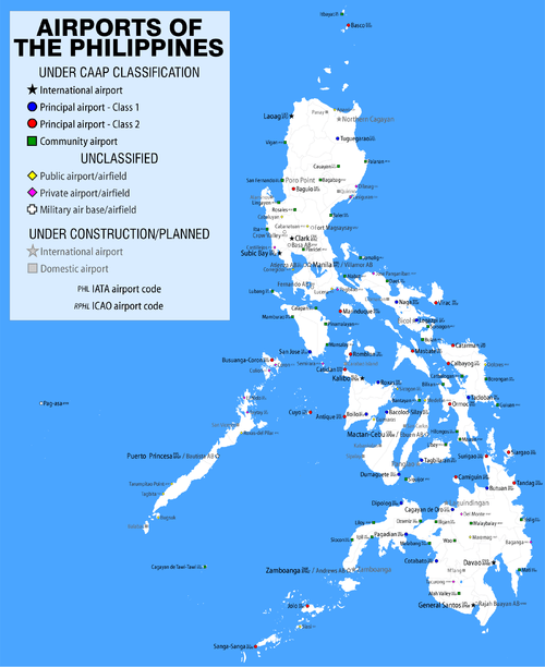
.svg.png) MBY Location in the Philippines | |||||||||||
| Runways | |||||||||||
| |||||||||||
Malaybalay Airport, also known as Malaybalay Airstrip, is the defunct-airport that used to serve general aviation in the area of Malaybalay, the capital city of Bukidnon in the Philippines. During the late 1990s, the airport was closed down and the area where the airport used to be located was converted into a low-cost housing project by the provincial government of Bukidnon.
References
This article is issued from Wikipedia - version of the 7/10/2015. The text is available under the Creative Commons Attribution/Share Alike but additional terms may apply for the media files.