Knocknamuck
| Knocknamuck | |
|---|---|
| Cnoc na Muc | |
 Knocknamuck | |
| Highest point | |
| Elevation | 340[1] m (1,120 ft) |
| Prominence | 268[1] m (879 ft) |
| Listing | Marilyn |
| Coordinates | 52°38′43.79″N 7°31′43.79″W / 52.6454972°N 7.5288306°WCoordinates: 52°38′43.79″N 7°31′43.79″W / 52.6454972°N 7.5288306°W |
| Naming | |
| Translation | Hill of the Pig. (Irish) |
| Geography | |
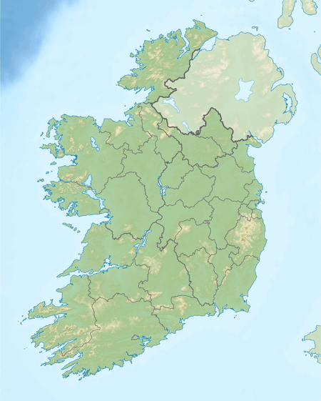
| Location | County Tipperary, Ireland |
| Parent range | Slieveardagh Hills |
| OSI/OSNI grid | M036599 |
| Topo map | OSi Discovery 67 |
Knocknamuck (Irish: Cnoc na Muc) is a mountain in County Tipperary, Ireland.
Etymology
Its name means Hill of the Pig.
Geography
At 340 metres (1,115 ft) Knocknamuck is highest summit in the Slieveardagh Hills and the 916th highest summit in Ireland.
References
- 1 2 "South Midlands Area / Knocknamuck". MountainViews. Ordnance Survey Ireland. Retrieved June 19, 2015.
See also
Lists of Marilyns | |
|---|---|
This article is issued from Wikipedia - version of the 9/25/2016. The text is available under the Creative Commons Attribution/Share Alike but additional terms may apply for the media files.
