Slieveardagh Hills
| Slieveardagh Hills | |
|---|---|
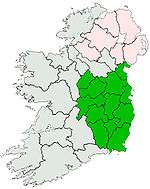
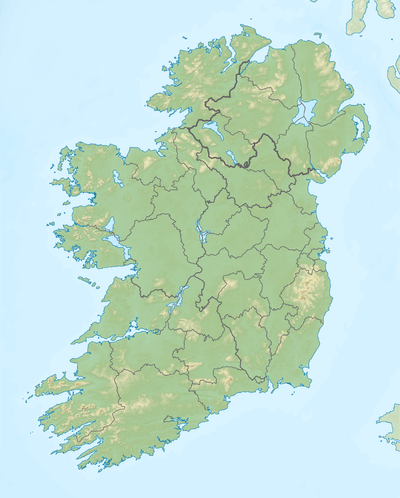 Slieveardagh Hills Location in Ireland | |
| Highest point | |
| Peak | Clomantagh Hill |
| Elevation | 349 m (1,145 ft) |
| Coordinates | 52°43′26″N 7°28′2″W / 52.72389°N 7.46722°WCoordinates: 52°43′26″N 7°28′2″W / 52.72389°N 7.46722°W |
| Geography | |
| Country | Ireland |
| Province | Leinster |
| Counties | Kilkenny and County Tipperary |
| Barony | Slievardagh |
The Slieveardagh Hills are a low range of hills on the County Tipperary - Kilkenny border, mainly in the barony of Slievardagh. The highest point is Clomantagh Hill[1] at 349 m and the highest point by relative height in the hills is Knocknamuck at 340m with prominence of 268m. The hills contain the source of the River Goul, which flows north and the Kings River which flows southwards from the hills.
The Slieveardagh Hills and Booley Hills extend westwards from County Kilkenny to County Tipperary.
See also
References
- ↑ - Clomantagh Hill 349 m
This article is issued from Wikipedia - version of the 2/23/2015. The text is available under the Creative Commons Attribution/Share Alike but additional terms may apply for the media files.