Jobstown, New Jersey
| Jobstown, New Jersey | |
|---|---|
| Unincorporated community | |
|
Center of Jobstown at CR 537 and CR 670 | |
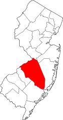
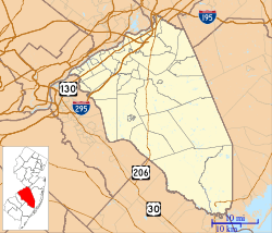 Jobstown 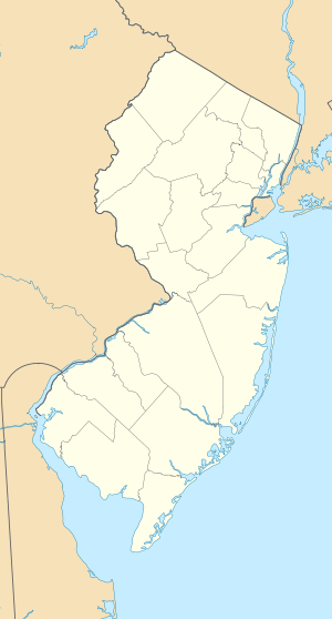 Jobstown  Jobstown Location in Burlington County (Inset: Burlington County in New Jersey) | |
| Coordinates: 40°02′13″N 74°41′35″W / 40.03694°N 74.69306°W | |
| Country |
|
| State |
|
| County | Burlington |
| Township | Springfield |
| Elevation | 22 m (72 ft) |
| Time zone | Eastern (EST) (UTC-5) |
| • Summer (DST) | EDT (UTC-4) |
| GNIS feature ID | 877462[1] |

Jobstown is an unincorporated community located within Springfield Township in Burlington County, New Jersey, United States.[2] The area is served as United States Postal Service ZIP code 08041.
As of the 2000 United States Census, the population for ZIP Code Tabulation Area 08041 was 877.
County Route 537 is the main route through Jobstown. CR 670 also comes through the community with a short concurrency with CR 537.[3] Rancocas Stable was an American thoroughbred horse racing stable and stud farm located in Jobstown. Redwing Airport is a general aviation airport located 1 mile (1.6 km) south of the central business district. Other places in Jobstown include a post office, churches, Springfield Township municipal offices and park, and small businesses.[3] Jobstown was once a stop on the Kinkora Branch railroad.[4]
Notable people
People who were born in, residents of, or otherwise closely associated with Jobstown include:
- Irving Fryar, former NFL wide receiver.[5]
References
- ↑ U.S. Geological Survey Geographic Names Information System: Jobstown, New Jersey
- ↑ Locality Search, State of New Jersey. Accessed June 9, 2016.
- 1 2 Google (May 24, 2015). "Aerial view of Jobstown" (Map). Google Maps. Google. Retrieved May 24, 2015.
- ↑ Pennsylvania Railroad and Its Connections (Map). December 1, 1911. Retrieved January 17, 2015.
- ↑ Coyne, Kevin. "JERSEY; Ex-N.F.L. Star Now Hauls In Lost Souls", The New York Times, December 31, 2006. Accessed November 3, 2007. "He moved back to New Jersey, to nearby rural Jobstown, after he retired in 2001 from the Washington Redskins."
External links
Coordinates: 40°02′13″N 74°41′35″W / 40.03694°N 74.69306°W