Vələver
| Vələver | |
|---|---|
| Municipality | |
 Vələver | |
| Coordinates: 38°57′N 45°56′E / 38.950°N 45.933°ECoordinates: 38°57′N 45°56′E / 38.950°N 45.933°E | |
| Country |
|
| Autonomous republic | Nakhchivan |
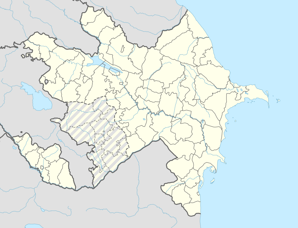
| Rayon | Ordubad |
| Population (2005) | |
| • Total | 468 |
| Time zone | AZT (UTC+4) |
Vələver (also, Valaver) is a village and municipality in the Ordubad Rayon of Nakhchivan, Azerbaijan. It is located 27 km in the north-east from the district center, on the slope of the Zangezur ridge. Its population is busy with gardening, vegetable-growing and animal husbandry. There are secondary school, library, club and a medical center in the village. It has a population of 468.[1]
Etymology
The name of the village made out from the components of the Turkic words of vələ (hilly) and ver (upper, top) means "the hilly place, altitude".[2]
References
- ↑ ANAS, Azerbaijan National Academy of Sciences (2005). Nakhchivan Encyclopedia. volume II. Baku: ANAS. p. 347. ISBN 5-8066-1468-9.
- ↑ Encyclopedic dictionary of Azerbaijan toponyms. In two volumes. Volume II. p. 304. Baku: "East-West". 2007. ISBN 978-9952-34-155-3.
.svg.png)
This article is issued from Wikipedia - version of the 8/7/2016. The text is available under the Creative Commons Attribution/Share Alike but additional terms may apply for the media files.