Ələhi
| Ələhi | |
|---|---|
| Municipality | |
 Ələhi | |
| Coordinates: 39°10′24″N 45°53′25″E / 39.17333°N 45.89028°ECoordinates: 39°10′24″N 45°53′25″E / 39.17333°N 45.89028°E | |
| Country |
|
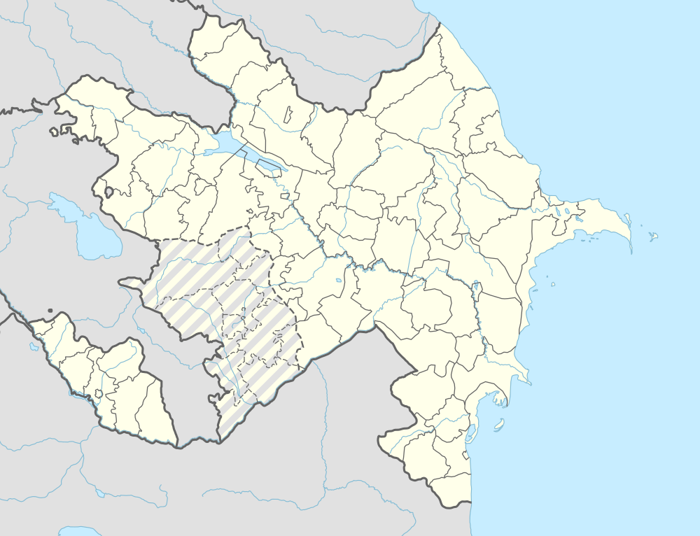
| Autonomous republic | Nakhchivan |
| Rayon | Ordubad |
| Population (2005) | |
| • Total | 132 |
| Time zone | AZT (UTC+4) |
Ələhi (also, Əlik, Alahi, Alaki, Allik, and Alyagi) is a village and municipality in the Ordubad Rayon of Nakhchivan, Azerbaijan, in the administrative unit of Bist village. It is located in the west of the Ordubad-Xurs highway, on the right bank of the Ayrichay river, on the foothill of the Gapyjyg mountain. Its population is busy with gardening, beekeeping, animal husbandry. There are incomplete secondary school, club, library, and a medical center in the village. It has a population of 132.[1]
Ələhi Bridge
The historical and architectural monument Alahi bridge is located in the upper part of the Ələhi village, on the west bank of the Ələhicay River. It has the two-span and joint arched. The western arch is big but the eastern arch is small. It was built from the gray coarse mountain stone. Size: length 30 m, width of 3 m and a height of 6.5 m. The western seat of the bridge was built on a rock. It is a historical monument of the XVIII-XIX centuries. At present, it's in the use of the rural population.[2]
References
- ↑ ANAS, Azerbaijan National Academy of Sciences (2005). Nakhchivan Encyclopedia. volume I. Baku: ANAS. p. 157. ISBN 5-8066-1468-9.
- ↑ AMEA, Azərbaycan Milli Elmlər Akademiyası Naxçıvan bölməsi (2008). Naxçıvan abidələri ensiklopediyası. Naxçıvan: AMEA. p. 99.
.svg.png)