Kilit, Ordubad
| Kilit | |
|---|---|
| Municipality | |
 Kilit | |
| Coordinates: 38°52′53″N 46°07′58″E / 38.88139°N 46.13278°ECoordinates: 38°52′53″N 46°07′58″E / 38.88139°N 46.13278°E | |
| Country |
|
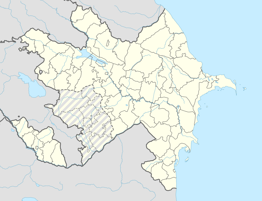
| Autonomous republic | Nakhchivan |
| Rayon | Ordubad |
| Time zone | AZT (UTC+4) |
Kilit is a village and municipality in the Ordubad Rayon of Nakhchivan, Azerbaijan. It is located in the left side of the Nakhchivan-Baku railway, 16 km in the south-east from the district center. At present, there is no population in the village.[1]
History
In the southeast of Kilit village, surrounded on all sides by steep slopes of the mountain and valleys, are karst caves with stalactites in their corridors and halls. The remains of the cultural layer which were found at the entrance of the caves show that the caves were ancient human settlements. Near the Kilit, in the a place called Ul valley the ruins of the residence of the Middle Ages and grave monuments have been found.[1]
In accordance of the decision of the Transcaucasian Central Executive Committee dated February 18, 1929, the Qorcevan village of the district of the Ordubad, with together other 9 villages of Nakhchivan ASSR, with their arable and pasture lands were illegally annexed to the Armenian SSR. In addition, part of the territory of the Kilit village which were rented by the Armenians from Qorcevan since 1921, had been joined to the Armenia since 1923.[1][2]
In 1992, at the result of the armed attacks by Armenian militants, the population of the village became refugees and moved to the different places of Ordubad district.[3]
References
- 1 2 3 ANAS, Azerbaijan National Academy of Sciences (2005). Nakhchivan Encyclopedia. volume I. Baku: ANAS. p. 296. ISBN 5-8066-1468-9.
- ↑ Müxtəlif mənbələrdə Naxçıvan toponimləri
- ↑ Ordubad rayonu: Ermənistanın işğalı nəticəsində dağıdılmış mədəni abidələr haqqında məlumat
External links and further literature
- Kars, Treaty of (1921)
- Kars Treaty
- Qars Müqaviləsi
- 1921-ci ilin Qars müqaviləsi: bu necə baş verdi
- Azərbaycan Milli Elmlər Akademiyası. Arxeologiya və Etnoqrafiya İnstitutu. Azərbaycan Arxeologiyası. Daş dövrü (6). — Bakı: Şərq-Qərb, 2008. — Т. 1. — 448 s.
- Kilit, Ordubad at GEOnet Names Server
.svg.png)