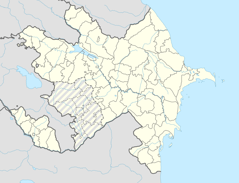
Aza, Azerbaijan
| Aza | |
|---|---|
| Municipality | |
 Aza | |
| Coordinates: 38°56′18″N 45°49′42″E / 38.93833°N 45.82833°ECoordinates: 38°56′18″N 45°49′42″E / 38.93833°N 45.82833°E | |
| Country |
|
| Autonomous republic | Nakhchivan |
| Rayon | Ordubad |
| Population (2005) | |
| • Total | 442 |
| Time zone | AZT (UTC+4) |
Aza (until 2003,[1] Yuxarı Aza, Jukhary Aza, Yukary-Aza, and Yukhary Aza "Upper Aza") is a village and municipality in the Ordubad Rayon of Nakhchivan, Azerbaijan. It is located in the left side of the Ordubad-Nakhchivan highway, 17 km in the south-east from the district center, on the right bank of the Gilanchay River. Its population is busy with gardening, vegetable-growing, farming, animal husbandry. There are secondary school, club and a medical center in the village. It has a population of 442.[2]
Etymology
The former name of the village, Yuxarı (Upper) Aza means "Aza village which located in the upper side". Since 2003, the name of the village is officially registered as Aza.[3] At the various sources, this settlement is described as a small town in versions of Aza, Azar, Azat, Azad. In the location of the same city is now located, two villages of Aza and Azadkand.
References
- ↑ Azerbaijan Parliament - renaming law
- ↑ ANAS, Azerbaijan National Academy of Sciences (2005). Nakhchivan Encyclopedia. volume I. Baku: ANAS. p. 46. ISBN 5-8066-1468-9.
- ↑ Azerbaijan Parliament - renaming law
See also
- Azadkənd, Nakhchivan - formerly, Aşağı Aza
.svg.png)