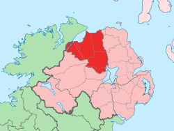
Tamlaght, County Londonderry
Coordinates: 54°53′53″N 6°33′14″W / 54.898°N 6.554°W Tamlaght (from Irish Tamhlacht, meaning "plague burial place"[1]) is a small village, townland and civil parish in County Londonderry, Northern Ireland. In the 2001 Census it had a population of 123 people.[2] It is situated within Mid-Ulster District. The civil parish of Tamlaght covers areas of County Tyrone as well as County Londonderry.[3]
The notable landmarks include Drumard Primary School, Churchtown Presbyterian Church, Tamlaght Church of Ireland and the Family Foodstore, locally known as Roland's due to the name of the owner.
Railways
Tamlaght railway station was opened by the Northern Counties Committee on 1 May 1917.[4]
The station closed to passengers on 28 August 1950 by the Ulster Transport Authority.
See also
- List of villages in Northern Ireland
- List of civil parishes of County Londonderry
- List of civil parishes of County Tyrone
- Tamlaght, County Fermanagh
References
- ↑ PlaceNamesNI - Tamlaght (County Londonderry)
- ↑ NI Neighbourhood Information System
- ↑ "Parishes of Northern Ireland". Public Record Office of NI. Retrieved 1 January 2013.
- ↑ "Tamlaght station" (PDF). Railscot - Irish Railways. Retrieved 2012-04-29.