Steynton
| Steynton | |
 View of Steyton pub at crossroads, looking north towards Haverfordwest |
|
 Steynton |
|
| Population | 3,000 |
|---|---|
| OS grid reference | SM914076 |
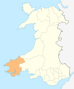
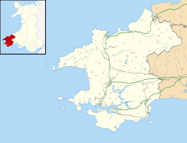
| Principal area | Pembrokeshire |
| Ceremonial county | Dyfed |
| Country | Wales |
| Sovereign state | United Kingdom |
| Post town | MILFORD HAVEN |
| Postcode district | SA73 |
| Dialling code | 01646 |
| Police | Dyfed-Powys |
| Fire | Mid and West Wales |
| Ambulance | Welsh |
| EU Parliament | Wales |
| UK Parliament | Preseli Pembrokeshire |
|
|
Coordinates: 51°43′46″N 5°01′02″W / 51.72952°N 5.017351°W
Steynton or Stainton is a parish in the county of Pembrokeshire, Wales, formerly in the hundred of Rhôs and now an area of Milford Haven. It houses c.3,000 inhabitants. The parish includes the hamlet of Dreenhill, near Haverfordwest.
History
The placename is likely derived from the Old English tun, meaning settlement or manor.[1] Steynton was once a medieval parish and village, with a parish church dedicated to Saint Peter or as it states in the Monasticon, to Saint Kewel erected on its outskirts. This church is an ancient and venerable structure, with a lofty tower which, from its elevated situation, is seen from every part of the surrounding country side. The church may have had links with Pill priory located roughly two miles south of it. The church tower was used as a musketry position during the English Civil War action at Pill Fort in Milford Haven.[2] Steynton Church is directly in line with St. Katherine's church to the south and Johnston church to the north. The parish was about six miles in length from north to south, and roughly a mile and a half to two miles in breadth from east to west.[3] The ancient parish extended almost as far as Haverfordwest to the north.[4]

Steynton originally lay separate to Milford Haven, being roughly two miles to the north/north-east of Milford, but like other hamlets and villages surrounding Milford Haven such as Hakin and Hubberston it has merged into the town of Milford Haven due to residential expansion. For local government purposes, Steynton forms part of the community of Miford Haven.
As you enter Steynton from the north, east or west, you will approach a large cross-road. The roads from this cross-road lead to Milford Haven to the south, and from it towards Johnston and Haverfordwest in the North and Jordanston and Pembroke/Pembroke Dock and Neyland to the east. Following the road to the west will lead to the small hamlet of Thornton. The parish includes the hamlet of Dreenhill, near Haverfordwest, as well as other settlements.[5]
The pub in Steynton is the Horse and Jockey.
Dreenhill
While Steynton village is in the south of the parish, Dreenhill is a hamlet in the north (SM924134) on the B4327 road 1 mile (1.6 km) southwest of Haverfordwest.[5] Dreenhill has a Calvanistic Methodist Chapel, established in 1834.[4] The hamlet has a garage, a pub/restaurant (The Masons, formerly the Masons Arms) and a few houses, and is surrounded by farmland.[6]
References
- ↑ BBC Wales website "What's in a Name?"
- ↑ Experience Pembrokeshire - Steynton "Experience Pembrokeshire Website", accessed 14.11.09
- ↑ A Topographical Dictionary of Wales Lewis, Samuel (1849) pp. 374-384
- 1 2 "GENUKI: Steynton". Retrieved 21 April 2015.
- 1 2 "GENUKI: Steynton parish map". Retrieved 21 April 2015.
- ↑ Google Street View