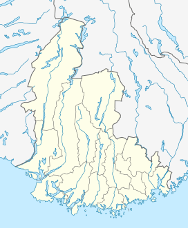
Selura
| Selura | |
|---|---|
 View of the lake | |
 Selura 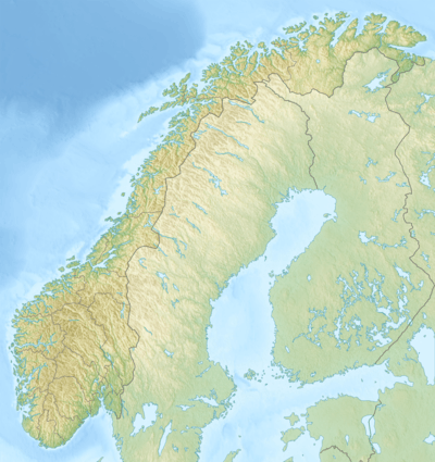 Selura | |
| Location | Flekkefjord, Vest-Agder |
| Coordinates | 58°18′30″N 06°42′12″E / 58.30833°N 6.70333°E / 58.30833; 6.70333 |
| Primary outflows | Grisefjorden |
| Basin countries | Norway |
| Max. length | 5.6 kilometres (3.5 mi) |
| Max. width | 3 kilometres (1.9 mi) |
| Surface area | 5.7 km2 (2.2 sq mi) |
| Shore length1 | 31.48 kilometres (19.56 mi) |
| Surface elevation | 32 metres (105 ft) |
| References | NVE |
| 1 Shore length is not a well-defined measure. | |
Selura is a lake in the municipality of Flekkefjord in Vest-Agder county, Norway.[1] The 5.7-square-kilometre (2.2 sq mi) lake is located at an elevation of 32 metres (105 ft) above sea level and it is about 130 metres (430 ft) at its deepest. The lake lies immediately northeast of the town of Flekkefjord
Selurafossen, the waterfall at the outflow of Lake Selura, historically provided a source of power for some industries, including a barrel factory and tannery in Flekkefjord.
See also
References
- ↑ "Selura, Flekkefjord (Vest-Agder)" (in Norwegian). yr.no. Retrieved 2016-09-07.
This article is issued from Wikipedia - version of the 9/8/2016. The text is available under the Creative Commons Attribution/Share Alike but additional terms may apply for the media files.