Mingevannet
| Mingevannet | |
|---|---|
 | |
| Location | Østfold county |
| Coordinates | 59°22′39″N 11°07′10″E / 59.37750°N 11.11944°E / 59.37750; 11.11944Coordinates: 59°22′39″N 11°07′10″E / 59.37750°N 11.11944°E / 59.37750; 11.11944 |
| Basin countries | Norway |
| Surface area | 20.61 km2 (7.96 sq mi) |
| Shore length1 | 77.88 km (48.39 mi) |
| Surface elevation | 24 m (79 ft) |
| References | NVE |
| 1 Shore length is not a well-defined measure. | |
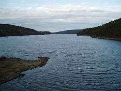
Mingevannet is a lake in Østfold county, Norway. It forms a part of the Glomma watershed together with Ågårdselva and Visterflo.
See also
This article is issued from Wikipedia - version of the 9/4/2015. The text is available under the Creative Commons Attribution/Share Alike but additional terms may apply for the media files.