Saliceto, Haute-Corse
| Saliceto | |
|---|---|
|
A view of Saliceto from the road to Gavignano | |
 Saliceto | |
|
Location within Corsica region 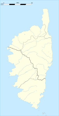 Saliceto | |
| Coordinates: 42°24′01″N 9°17′43″E / 42.4003°N 9.2953°ECoordinates: 42°24′01″N 9°17′43″E / 42.4003°N 9.2953°E | |
| Country | France |
| Region | Corsica |
| Department | Haute-Corse |
| Arrondissement | Corte |
| Canton | Castifao-Morosaglia |
| Intercommunality | Vallée de Casaluna |
| Government | |
| • Mayor (2008–2014) | Roland Rinaldi |
| Area1 | 12.54 km2 (4.84 sq mi) |
| Population (2008)2 | 67 |
| • Density | 5.3/km2 (14/sq mi) |
| Time zone | CET (UTC+1) |
| • Summer (DST) | CEST (UTC+2) |
| INSEE/Postal code | 2B267 / 20218 |
| Elevation |
220–1,729 m (722–5,673 ft) (avg. 750 m or 2,460 ft) |
|
1 French Land Register data, which excludes lakes, ponds, glaciers > 1 km² (0.386 sq mi or 247 acres) and river estuaries. 2 Population without double counting: residents of multiple communes (e.g., students and military personnel) only counted once. | |

Saliceto is a commune in the Castagnicca valley near the town of Corte in the Haute-Corse department of France on the island of Corsica.
The village was the birthplace of Antoine Christophe Saliceti. The village consists of about two dozen stonewall houses and a small Catholic church.
Population
| Historical population | ||
|---|---|---|
| Year | Pop. | ±% |
| 1962 | 72 | — |
| 1968 | 85 | +18.1% |
| 1975 | 71 | −16.5% |
| 1982 | 69 | −2.8% |
| 1990 | 52 | −24.6% |
| 1999 | 47 | −9.6% |
| 2008 | 67 | +42.6% |
International relations
Saliceto is twinned with:
See also
References
| Wikimedia Commons has media related to Saliceto (Haute-Corse). |
This article is issued from Wikipedia - version of the 3/15/2016. The text is available under the Creative Commons Attribution/Share Alike but additional terms may apply for the media files.