Canale-di-Verde
| Canale-di-Verde | |
|---|---|
 Canale-di-Verde | |
|
Location within Corsica region 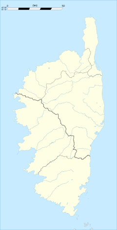 Canale-di-Verde | |
| Coordinates: 42°16′31″N 9°28′26″E / 42.2753°N 9.4739°ECoordinates: 42°16′31″N 9°28′26″E / 42.2753°N 9.4739°E | |
| Country | France |
| Region | Corsica |
| Department | Haute-Corse |
| Arrondissement | Corte |
| Canton | Moïta-Verde |
| Government | |
| • Mayor (2008–2014) | Marie Laetitia Casalta |
| Area1 | 15 km2 (6 sq mi) |
| Population (2008)2 | 334 |
| • Density | 22/km2 (58/sq mi) |
| Time zone | CET (UTC+1) |
| • Summer (DST) | CEST (UTC+2) |
| INSEE/Postal code | 2B057 / 20230 |
| Elevation |
0–1,093 m (0–3,586 ft) (avg. 440 m or 1,440 ft) |
|
1 French Land Register data, which excludes lakes, ponds, glaciers > 1 km² (0.386 sq mi or 247 acres) and river estuaries. 2 Population without double counting: residents of multiple communes (e.g., students and military personnel) only counted once. | |
Canale-di-Verde is a commune in the Haute-Corse department of France on the island of Corsica.
Administration
Canale-di-Verde is part of the canton of Moïta-Verde, together with 13 other communes: Aléria, Moïta, Ampriani, Campi, Chiatra, Linguizzetta, Matra, Pianello, Pietra-di-Verde, Tallone, Tox, Zalana and Zuani.[1]
Geography
Canale-di-Verde is 19 kilometres (12 mi) to the east of Moïta, but 5 kilometres (3 mi) as the crow flies, on an escarpment hanging over the Plaine Orientale. The commune, which culminates at la punta di a Campana, extends between the sea on the one hand and the torrent of Allistro on the other, at the mouth of which is found a ruined Genoese tower of the same name. The reservoir of Peri there is used to irrigate 26 hectares (64 acres) of vines.
Population
| Historical population | ||
|---|---|---|
| Year | Pop. | ±% |
| 1962 | 215 | — |
| 1968 | 215 | +0.0% |
| 1975 | 330 | +53.5% |
| 1982 | 356 | +7.9% |
| 1990 | 275 | −22.8% |
| 1999 | 335 | +21.8% |
| 2008 | 334 | −0.3% |
See also
References
- ↑ "France, le trésor des régions: Département: Haut-Corse" (in French). Retrieved 2008-05-06..
| Wikimedia Commons has media related to Canale-di-Verde. |