Cervione
| Cervione | ||
|---|---|---|
| ||
 Cervione | ||
|
Location within Corsica region 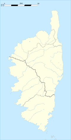 Cervione | ||
| Coordinates: 42°19′57″N 9°29′32″E / 42.3325°N 9.4922°ECoordinates: 42°19′57″N 9°29′32″E / 42.3325°N 9.4922°E | ||
| Country | France | |
| Region | Corsica | |
| Department | Haute-Corse | |
| Arrondissement | Corte | |
| Canton | Campoloro-di-Moriani | |
| Intercommunality | Costa Verde | |
| Government | ||
| • Mayor (2008–2014) | Marc-Antoine Nicolaï | |
| Area1 | 11.45 km2 (4.42 sq mi) | |
| Population (2008)2 | 1,646 | |
| • Density | 140/km2 (370/sq mi) | |
| Time zone | CET (UTC+1) | |
| • Summer (DST) | CEST (UTC+2) | |
| INSEE/Postal code | 2B087 / 20221 | |
| Elevation |
0–934 m (0–3,064 ft) (avg. 380 m or 1,250 ft) | |
|
1 French Land Register data, which excludes lakes, ponds, glaciers > 1 km² (0.386 sq mi or 247 acres) and river estuaries. 2 Population without double counting: residents of multiple communes (e.g., students and military personnel) only counted once. | ||
.svg.png)
Cervione is a commune of the Haute-Corse department of France on the island of Corsica. It is home to the Saint Erasmus cathedral, which was completed in 1745, and is an example of the baroque style.[1]
Geography
The town of Cervione is located to the east of Corsica island. It is the main ancient core of population between Bastia and Aleria which are the two most populated closer city. It dominate the oriental plain at the place where it is narrowest.
Cervione's hinterland is the Castaniccia a wet region with a lot of ancient villages and hamlets in the slot of Monte San Petrone (1767) the highest top of the shist part of Corsica (the quart of the north east of the island).
Population
| Historical population | ||
|---|---|---|
| Year | Pop. | ±% |
| 1962 | 1,100 | — |
| 1968 | 1,400 | +27.3% |
| 1975 | 1,450 | +3.6% |
| 1982 | 1,254 | −13.5% |
| 1990 | 1,334 | +6.4% |
| 1999 | 1,452 | +8.8% |
| 2008 | 1,646 | +13.4% |
See also
References
External links
| Wikimedia Commons has media related to Cervione. |