Solaro, Haute-Corse
| Solaro U Sulaghju | |
|---|---|
|
A view of the village of Solaro | |
 Solaro | |
|
Location within Corsica region 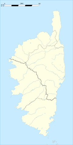 Solaro | |
| Coordinates: 41°54′17″N 9°19′37″E / 41.9047°N 9.3269°ECoordinates: 41°54′17″N 9°19′37″E / 41.9047°N 9.3269°E | |
| Country | France |
| Region | Corsica |
| Department | Haute-Corse |
| Arrondissement | Corte |
| Canton | Prunelli-di-Fiumorbo |
| Intercommunality | Côte des Nacres |
| Government | |
| • Mayor (2009–2014) | Jean-Baptiste Paoli |
| Area1 | 93.36 km2 (36.05 sq mi) |
| Population (2008)2 | 651 |
| • Density | 7.0/km2 (18/sq mi) |
| Time zone | CET (UTC+1) |
| • Summer (DST) | CEST (UTC+2) |
| INSEE/Postal code | 2B283 / 20240 |
| Elevation |
0–2,018 m (0–6,621 ft) (avg. 497 m or 1,631 ft) |
|
1 French Land Register data, which excludes lakes, ponds, glaciers > 1 km² (0.386 sq mi or 247 acres) and river estuaries. 2 Population without double counting: residents of multiple communes (e.g., students and military personnel) only counted once. | |

Solaro (Corsican: U Sulaghju) is a commune in the Haute-Corse department of France on the island of Corsica.
Population
| Historical population | ||
|---|---|---|
| Year | Pop. | ±% |
| 1962 | 310 | — |
| 1968 | 291 | −6.1% |
| 1975 | 309 | +6.2% |
| 1982 | 477 | +54.4% |
| 1990 | 476 | −0.2% |
| 1999 | 583 | +22.5% |
| 2008 | 651 | +11.7% |
See also
References
| Wikimedia Commons has media related to Solaro (Haute-Corse). |
This article is issued from Wikipedia - version of the 10/30/2016. The text is available under the Creative Commons Attribution/Share Alike but additional terms may apply for the media files.