Runhall
| Runhall | |
 All Saints, Runhall |
|
 Runhall |
|
| Area | 11.98 km2 (4.63 sq mi) |
|---|---|
| Population | 401 (2011)[1] |
| – density | 33/km2 (85/sq mi) |
| OS grid reference | TG054070 |
| Civil parish | Runhall |
| District | South Norfolk |
| Shire county | Norfolk |
| Region | East |
| Country | England |
| Sovereign state | United Kingdom |
| Post town | NORWICH |
| Postcode district | NR9 |
| Police | Norfolk |
| Fire | Norfolk |
| Ambulance | East of England |
| EU Parliament | East of England |
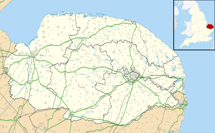
Coordinates: 52°37′19″N 1°02′01″E / 52.62201°N 1.03356°E

Runhall All Saints
Runhall is a village and civil parish in Norfolk, England. It covers an area of 11.98 km2 (4.63 sq mi) and had a population of 365 in 137 households at the 2001 census,[2] including Welborne and increasing in the 2011 Census to a population of 401 in 148 households.
Its church, All Saints, is one of 124 existing round-tower churches in Norfolk.
The civil parish also contains the villages of Brandon Parva, Coston and Welborne. These were separate parishes before being merged with Runhall in 1935.[3]
Notes
- ↑ "Civil Parish population 2011". Neighbourhood Statistics. Office for National Statistics. Retrieved 10 August 2016.
- ↑ "Runhall parish information". South Norfolk Council. 4 January 2006. Retrieved 20 June 2009.
- ↑ "Runhall AP/CP through time | Administrative history of Parish-level Unit: hierarchies, boundaries". A Vision of Britain through Time. University of Portsmouth. 2009. Retrieved 2010-01-23.
External links
| Wikimedia Commons has media related to Runhall. |
This article is issued from Wikipedia - version of the 10/26/2016. The text is available under the Creative Commons Attribution/Share Alike but additional terms may apply for the media files.