Wicklewood
| Wicklewood | |
 Church of St Andrew and All Saints |
|
 Wicklewood |
|
| Area | 8.75 km2 (3.38 sq mi) |
|---|---|
| Population | 922 (2011) |
| – density | 105/km2 (270/sq mi) |
| OS grid reference | TG075024 |
| Civil parish | Wicklewood |
| District | South Norfolk |
| Shire county | Norfolk |
| Region | East |
| Country | England |
| Sovereign state | United Kingdom |
| Post town | WYMONDHAM |
| Postcode district | NR18 |
| Dialling code | 01953 |
| Police | Norfolk |
| Fire | Norfolk |
| Ambulance | East of England |
| EU Parliament | East of England |
| UK Parliament | Mid Norfolk |
Coordinates: 52°34′49″N 1°03′40″E / 52.580314°N 1.061211°E

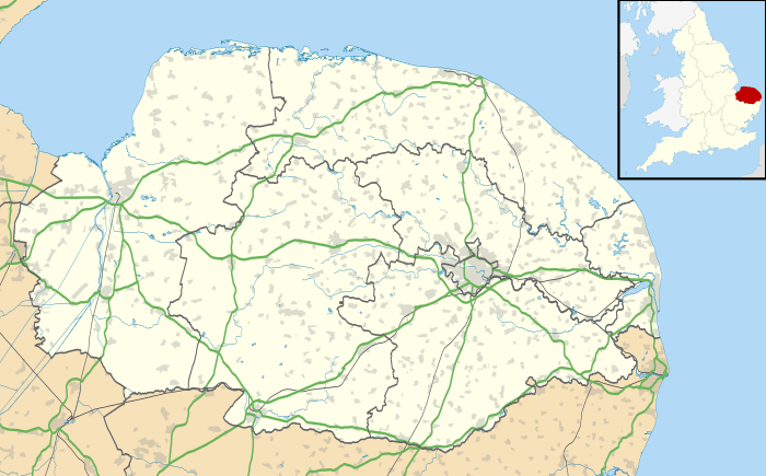
Wicklewood is a village and civil parish in the South Norfolk district of Norfolk, England. It is located 11 miles (18 km) west of Norwich next to the market town of Wymondham, neighbouring the villages of Deopham, Hackford and Kimberley. It covers an area of 8.75 km2 (3.38 sq mi) and had a population of 886 in 345 households at the 2001 census,[1] increasing to 922 at the 2011 Census.[2]
Governance
An electoral ward in the same name exists. This ward has a population of 3,308 at the 2011 Census.[3]
Amenities
The village has a small primary school, Wicklewood School, as well as a small church, St Andrews and All Saints.
Wicklewood has a local cricket team that participates in various Sunday League matches and was the holder of the Wicklewood Shield trophy won in 2006.
The village also has one public house called the Cherry Tree where the full range of Buffy's ales, made in Tivetshall St. Mary, can be tasted.
References
- ↑ "Wicklewood parish information". South Norfolk Council. 20 May 2009. Retrieved 20 June 2009.
- ↑ "Parish population 2011". Retrieved 10 September 2015.
- ↑ "Ward population 2011". Retrieved 10 September 2015.
External links
| Wikimedia Commons has media related to Wicklewood. |
- Wicklewood Archive
- The Cherry Tree
- Buffy's Brewery
- Wicklewood home page
- Wicklewood Parish Council
- Wicklewood School