Carleton St Peter
| Carleton St Peter | |
 St Peter, Carleton St Peter |
|
 Carleton St Peter |
|
| Area | 3.19 km2 (1.23 sq mi) |
|---|---|
| Population | 29 |
| – density | 9/km2 (23/sq mi) |
| OS grid reference | TG338021 |
| Civil parish | Carleton St Peter |
| District | South Norfolk |
| Shire county | Norfolk |
| Region | East |
| Country | England |
| Sovereign state | United Kingdom |
| Post town | NORWICH |
| Postcode district | NR14 |
| Police | Norfolk |
| Fire | Norfolk |
| Ambulance | East of England |
| EU Parliament | East of England |
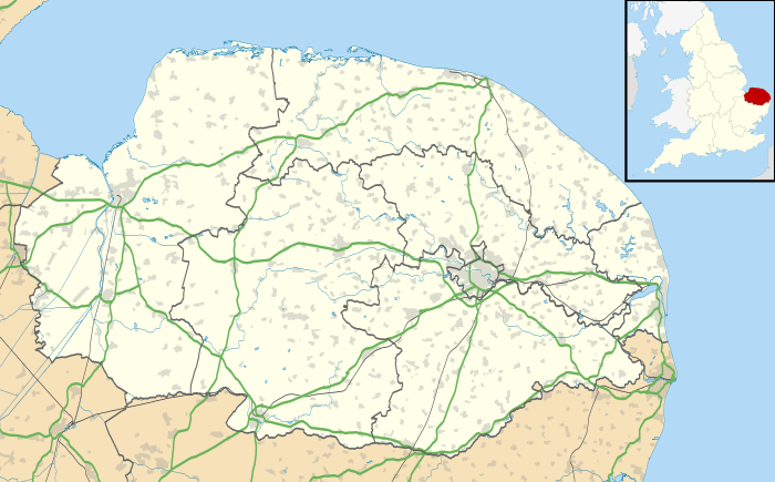
Coordinates: 52°33′58″N 1°26′59″E / 52.566021°N 1.449852°E
Carleton St Peter is a civil parish in South Norfolk approximately 8 1⁄2 miles (13.7 km) south-east of Norwich. There is no village center but the Church provides a reference point and is 1 mile (1.6 km) north-east of Thurton, and a similar distance south of Claxton, just east of Ashby St Mary.
In the 2001 census Carleton St Peter contained just 15 households and a population of 29 spread across the 3.19 km2 (1.23 sq mi) of the parish.[1] The church cannot be reached by road and sits in a small graveyard in the middle of a field reached by a short path between ploughed fields.[2] The tower contains four bells but they cannot be rung.[3]
The parish extends northwards to include the Beauchamp Arms public house on the south bank of the River Yare and the nearby Buckenham Sailing Club. These lie at the end of Ferry Road although the ferry across to Buckenham on the north bank stopped running before World War II.
Between Carleton St Peter and Claxton, on the banks of Carleton Beck, lies Ducan's Marsh, a Site of Special Scientific Interest and one of the richest areas of unimproved wet grassland in East Norfolk.[4]
References
External links
| Wikimedia Commons has media related to Carleton St Peter. |
- Ordnance Survey 1:25000 map of Carleton St Peter
- St Peter's Church
- Buckenham Sailing Club
- Buckenham Ferry, 1893
- Buckenham Ferry 1930
- Beauchamp Arms Hotel, c1960