Ganda, Angola
| Ganda | |
|---|---|
| Municipality and town | |
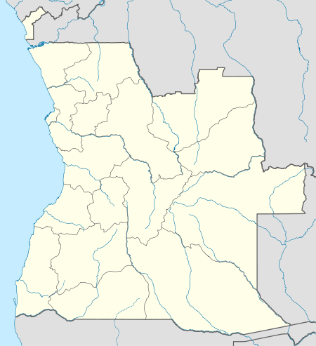 Ganda Location in Angola | |
| Coordinates: 13°01′S 14°38′E / 13.017°S 14.633°E | |
| Country |
|
| Province | Benguela Province |
| Area | |
| • Total | 1,860 sq mi (4,817 km2) |
| Population (2014) | |
| • Total | 302,913 |
| Time zone | WAT (UTC+1) |
| Climate | Aw |
Ganda is a town and municipality in Benguela Province in Angola.[1]
It lies on the central line of Angolan Railways where there is a junction.
During the colonial period, the town was called Vila Mariano Machado having been promoted to such category on June 24, 1069.[2]
References
- ↑ "City councils of Angola". Statoids. Retrieved April 7, 2009.
- ↑ "Benguela: Município da Ganda assinala 45 anos de existência" (in Portuguese). PortaldeAngola.com. 24 Jun 2014. Retrieved 22 Mar 2016.
Capital: Benguela | |
| Benguela |
|
| Baía Farta |
|
| Balombo |
|
| Bocoio |
|
| Caimbambo |
|
| Catumbela |
|
| Chongorói |
|
| Cubal |
|
| Ganda |
|
| Lobito |
|
This article is issued from Wikipedia - version of the 4/27/2016. The text is available under the Creative Commons Attribution/Share Alike but additional terms may apply for the media files.