Namacunde
| Namacunde Namakunde | |
|---|---|
| Municipality and town | |
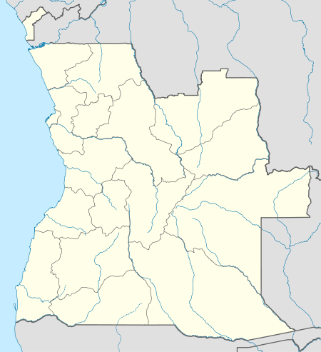 Namacunde Location in Angola | |
| Coordinates: 17°18′S 15°51′E / 17.300°S 15.850°ECoordinates: 17°18′S 15°51′E / 17.300°S 15.850°E | |
| Country |
|
| Province | Cunene Province |
| Area | |
| • Total | 4,132 sq mi (10,701 km2) |
| Elevation | 3,640 ft (1,110 m) |
| Population (2006) | |
| • Total | 151,657 |
| Time zone | WAT (UTC+1) |
| Climate | BSh |
Namacunde or Namakunde is a town and municipality in Cunene Province in Angola.[1]
History as a mission station
Namacunde was a mission station of the Rhenish Mission Society in Oukwanyama in southern Angola, located 25 km to the south-east of Ondjiva.
Namacunde mission was founded in 1900 by the German missionary Wilhelm Ickler. At the time it was thought that the area was part of German South West Africa.
Just as Ickler had begun the construction of the third mission German mission station in Oukwanyama, he fell ill with malaria and blackwater fever and died on 22 June 1900.

In November 1915 the Germans had to leave Namacunde, as it became the border station between Portuguese West Africa and British South West Africa.[2]
Transport
Namakunde lies on the route of the proposed railway linking Angola and Namibia.
See also
References
- ↑ "City councils of Angola". Statoids. Retrieved April 9, 2009.
- ↑ Peltola, Matti (1958). Sata vuotta suomalaista lähetystyötä 1859–1959. II: Suomen Lähetysseuran Afrikan työn historia [‘One Hundred Years of Finnish Missionary Work 1859–1959. II: The History of FMS’s Missionary Work in Africa’]. Helsinki: The Finnish Missionary Society. pp. 173, 180, 182, 196.
Capital: Ondjiva | |
| Cuanhama |
|
| Cahama |
|
| Curoca |
|
| Cuvelai |
|
| Namacunde |
|
| Ombadja | |