Bocoio
Coordinates: 12°27′S 14°09′E / 12.450°S 14.150°E
| Bocoio | |
|---|---|
| Municipality and town | |
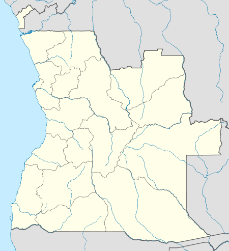 Bocoio Location in Angola | |
| Coordinates: 12°27′S 14°09′E / 12.450°S 14.150°E | |
| Country |
|
| Province | Benguela Province |
| Area | |
| • Total | 2,128 sq mi (5,512 km2) |
| Population (2013) | |
| • Total | 163,714 |
| Time zone | WAT (UTC+1) |
| Climate | Aw |
Bocoio is a town and municipality in Benguela Province in Angola.[1] Its administrative capital is Tchissandji.
It is located in the northeast side of the province, 106 km from the capital city, 75 km west of the railway city of Lobito and 75 km east of the municipality of Balombo.
The town used to be called Vila Sousa Lara during the colonial period having been established in 1827 by a Mr. Fernando, the first chefe do posto (town council chief) to be appointed.[2]
References
- ↑ "City councils of Angola". Statoids. Retrieved April 7, 2009.
- ↑ "Conheça por Imagens a Vila do Bocoio na Província de Benguela" (in Portuguese). ANGOP.com. 28 Apr 2013. Retrieved 21 Mar 2016.
Capital: Benguela | |
| Benguela |
|
| Baía Farta |
|
| Balombo |
|
| Bocoio |
|
| Caimbambo |
|
| Catumbela |
|
| Chongorói |
|
| Cubal |
|
| Ganda |
|
| Lobito |
|
This article is issued from Wikipedia - version of the 10/5/2016. The text is available under the Creative Commons Attribution/Share Alike but additional terms may apply for the media files.