Stanbridge East, Quebec
| Stanbridge East | |
|---|---|
| Municipality | |
 | |
 Location within Brome-Missisquoi RCM. | |
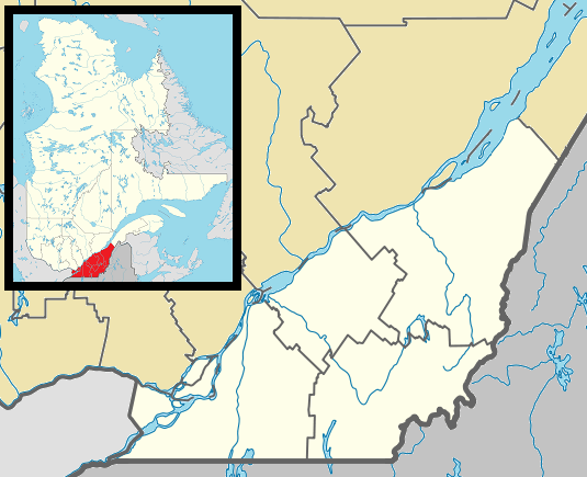 Stanbridge East Location in southern Quebec. | |
| Coordinates: 45°07′N 72°55′W / 45.117°N 72.917°WCoordinates: 45°07′N 72°55′W / 45.117°N 72.917°W[1] | |
| Country |
|
| Province |
|
| Region | Montérégie |
| RCM | Brome-Missisquoi |
| Constituted | July 1, 1855 |
| Government[2][3] | |
| • Mayor | Gregory Vaughan |
| • Federal riding | Brome—Missisquoi |
| • Prov. riding | Brome-Missisquoi |
| Area[2][4] | |
| • Total | 49.90 km2 (19.27 sq mi) |
| • Land | 49.14 km2 (18.97 sq mi) |
| Population (2011)[4] | |
| • Total | 873 |
| • Density | 17.8/km2 (46/sq mi) |
| • Pop 2006-2011 |
|
| • Dwellings | 383 |
| Time zone | EST (UTC−5) |
| • Summer (DST) | EDT (UTC−4) |
| Postal code(s) | J0J 2H0 |
| Area code(s) | 450 and 579 |
| Highways |
|
| Website |
www |
Stanbridge East is a municipality in the Canadian province of Quebec, located within the Brome-Missisquoi Regional County Municipality. The population as of the Canada 2011 Census was 873.
History
Stanbridge (Township) was first surveyed by Jesse Pennoyer in the year 1792. It was subsequently opened for settlement, reversing the old policy of the day "no settlements along the frontier".
Demographics
Population
Population trend:[5]
| Census | Population | Change (%) |
|---|---|---|
| 2011 | 873 | |
| 2006 | 833 | |
| 2001 | 908 | |
| 1996 | 856 | |
| 1991 | 860 | N/A |
Language
Mother tongue language (2006)[6]
| Language | Population | Pct (%) |
|---|---|---|
| French only | 355 | 42.77% |
| English only | 410 | 49.40% |
| Both English and French | 45 | 5.42% |
| Other languages | 20 | 2.41% |
See also
References
- ↑ Reference number 333848 of the Commission de toponymie du Québec (French)
- 1 2 Ministère des Affaires municipales, des Régions et de l'Occupation du territoire: Stanbridge East
- ↑ Parliament of Canada Federal Riding History: BROME--MISSISQUOI (Quebec)
- 1 2 "(Code 2446045) Census Profile". 2011 census. Statistics Canada. 2012.
- ↑ Statistics Canada: 1996, 2001, 2011 census
- ↑ 2006 Statistics Canada Community Profile: Stanbridge East, Quebec
 |
Saint-Ignace-de-Stanbridge | | ||
| Bedford (township) | |
Dunham | ||
| ||||
| | ||||
| Saint-Armand | Frelighsburg |
| Cities & Towns |
|
|---|---|
| Municipalities | |
| Townships | |
| Villages | |
| |
This article is issued from Wikipedia - version of the 11/13/2016. The text is available under the Creative Commons Attribution/Share Alike but additional terms may apply for the media files.