Saint-Ignace-de-Stanbridge, Quebec
| Saint-Ignace-de-Stanbridge | |
|---|---|
| Municipality | |
|
Walbridge House | |
 Location within Brome-Missisquoi RCM | |
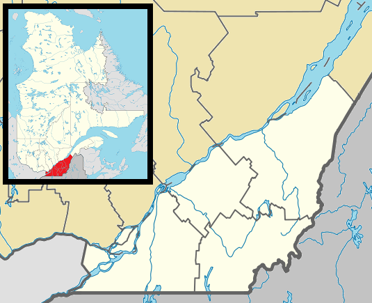 St-Ignace-de-Stanbridge Location in southern Quebec | |
| Coordinates: 45°10′N 72°57′W / 45.167°N 72.950°WCoordinates: 45°10′N 72°57′W / 45.167°N 72.950°W[1] | |
| Country |
|
| Province |
|
| Region | Montérégie |
| RCM | Brome-Missisquoi |
| Constituted | March 21, 1889 |
| Government[2][3] | |
| • Mayor | Albert Santerre |
| • Federal riding | Brome—Missisquoi |
| • Prov. riding | Brome-Missisquoi |
| Area[2][4] | |
| • Total | 69.90 km2 (26.99 sq mi) |
| • Land | 69.16 km2 (26.70 sq mi) |
| Population (2011)[4] | |
| • Total | 638 |
| • Density | 9.2/km2 (24/sq mi) |
| • Pop 2006-2011 |
|
| • Dwellings | 256 |
| Time zone | EST (UTC−5) |
| • Summer (DST) | EDT (UTC−4) |
| Postal code(s) | J0J 1Y0 |
| Area code(s) | 450 and 579 |
| Highways |
|
| Website |
www |

Saint-Ignace-de-Stanbridge is a municipality in the Canadian province of Quebec, located within the Brome-Missisquoi Regional County Municipality. The population as of the Canada 2011 Census was 638.
Demographics
Population
Population trend:[5]
| Census | Population | Change (%) |
|---|---|---|
| 2011 | 638 | |
| 2006 | 631 | |
| 2001 | 679 | |
| 1996 | 692 | |
| 1991 | 717 | N/A |
Language
Mother tongue language (2006)[6]
| Language | Population | Pct (%) |
|---|---|---|
| French only | 505 | 81.45% |
| English only | 95 | 15.32% |
| Both English and French | 0 | 0.00% |
| Other languages | 20 | 3.23% |
See also
References
- ↑ Reference number 402092 of the Commission de toponymie du Québec (French)
- 1 2 Ministère des Affaires municipales, des Régions et de l'Occupation du territoire: Saint-Ignace-de-Stanbridge
- ↑ Parliament of Canada Federal Riding History: BROME--MISSISQUOI (Quebec)
- 1 2 2011 Statistics Canada Census Profile: Saint-Ignace-de-Stanbridge, Quebec
- ↑ Statistics Canada: 1996, 2001, 2006, 2011 census
- ↑ 2006 Statistics Canada Community Profile: Saint-Ignace-de-Stanbridge, Quebec
| Wikimedia Commons has media related to Saint-Ignace-de-Stanbridge. |
 |
Sainte-Sabine | Farnham | Brigham | |
| Notre-Dame-de-Stanbridge | |
Dunham | ||
| ||||
| | ||||
| Bedford (township) | Stanbridge East |
| Cities & Towns |
|
|---|---|
| Municipalities | |
| Townships | |
| Villages | |
| |
This article is issued from Wikipedia - version of the 11/3/2016. The text is available under the Creative Commons Attribution/Share Alike but additional terms may apply for the media files.