Saint-Pierre-de-Vassols
| Saint-Pierre-de-Vassols | ||
|---|---|---|
|
Town hall | ||
| ||
 Saint-Pierre-de-Vassols | ||
|
Location within Provence-A.-C.d'A. region 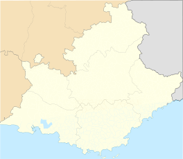 Saint-Pierre-de-Vassols | ||
| Coordinates: 44°06′07″N 5°08′15″E / 44.1019°N 5.1375°ECoordinates: 44°06′07″N 5°08′15″E / 44.1019°N 5.1375°E | ||
| Country | France | |
| Region | Provence-Alpes-Côte d'Azur | |
| Department | Vaucluse | |
| Arrondissement | Carpentras | |
| Canton | Mormoiron | |
| Intercommunality | Ventoux-Comtat Venaissin | |
| Government | ||
| • Mayor (2008-2014) | Bernard Gaudibert | |
| Area1 | 4.93 km2 (1.90 sq mi) | |
| Population (2008)2 | 489 | |
| • Density | 99/km2 (260/sq mi) | |
| Time zone | CET (UTC+1) | |
| • Summer (DST) | CEST (UTC+2) | |
| INSEE/Postal code | 84115 / 84330 | |
| Elevation |
180–362 m (591–1,188 ft) (avg. 212 m or 696 ft) | |
|
1 French Land Register data, which excludes lakes, ponds, glaciers > 1 km² (0.386 sq mi or 247 acres) and river estuaries. 2 Population without double counting: residents of multiple communes (e.g., students and military personnel) only counted once. | ||

.svg.png)
Saint-Pierre-de-Vassols is a commune in the Vaucluse département in the Provence-Alpes-Côte d'Azur region in southeastern France. Its inhabitants are known as vassoliens (male) and vassoliennes (female).
See also
References
| Wikimedia Commons has media related to Saint-Pierre-de-Vassols. |
This article is issued from Wikipedia - version of the 10/19/2014. The text is available under the Creative Commons Attribution/Share Alike but additional terms may apply for the media files.
