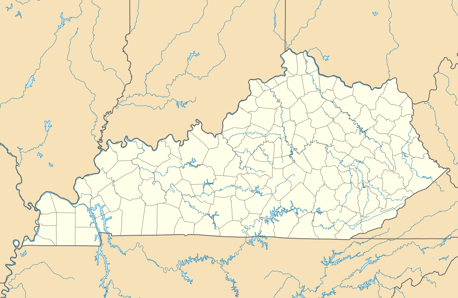
Maytown, Kentucky
| Maytown, Kentucky | |
|---|---|
| Census-designated place | |
 Maytown Location in Kentucky | |
| Coordinates: 37°31′58″N 82°47′57″W / 37.53278°N 82.79917°WCoordinates: 37°31′58″N 82°47′57″W / 37.53278°N 82.79917°W | |
| Country |
|
| State |
|
| County | Morgan |
| Area | |
| • Total | 0.57 sq mi (1.48 km2) |
| • Land | 0.57 sq mi (1.48 km2) |
| • Water | 0 sq mi (0 km2) |
| Elevation | 909 ft (277 m) |
| Population (2010) | |
| • Total | 243 |
| • Density | 426/sq mi (164.4/km2) |
| Time zone | Eastern (EST) (UTC-5) |
| • Summer (DST) | EDT (UTC-4) |
| FIPS code | 21-51060 |
| GNIS feature ID | 2629650 |
| U.S. Geological Survey Geographic Names Information System: Maytown, Kentucky | |
Maytown is an unincorporated community and census-designated place in Floyd County, Kentucky, United States.[1] The 2010 United States Census reported that Maytown's population was 243, of which 242 persons were white and 1 person was Asian.[2]
Geography
Maytown is located west of the center of Floyd County, along the Right Fork of Beaver Creek, a tributary of the Levisa Fork. Kentucky Route 80 passes just east of the community, leading north 14 miles (23 km) to Prestonsburg (via U.S. Route 23) and southwest 38 miles (61 km) to Hazard. According to the U.S. Census Bureau, the Maytown CDP has an area of 0.57 square miles (1.48 km2), all land.[3]
References
- ↑ "Feature Detail Report for: Maytown, Kentucky." USGS. U.S. Geological Survey Geographic Names Information System: Maytown, Kentucky Retrieved May 12, 2011.
- ↑ http://factfinder2.census.gov/faces/tableservices/jsf/pages/productview.xhtml?pid=DEC_10_PL_GCTPL1.ST10&prodType=table 2010 US Census report for Kentucky
- ↑ "Geographic Identifiers: 2010 Census Summary File 1 (G001), Maytown CDP, Kentucky". American FactFinder. U.S. Census Bureau. Retrieved May 23, 2016.
Municipalities and communities of Floyd County, Kentucky, United States | ||
|---|---|---|
| Cities | 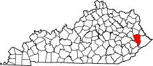 | |
| CDPs | ||
| Other unincorporated communities |
| |
This article is issued from Wikipedia - version of the 5/24/2016. The text is available under the Creative Commons Attribution/Share Alike but additional terms may apply for the media files.