Emma, Kentucky
| Emma, Kentucky | |
|---|---|
| Unincorporated community | |
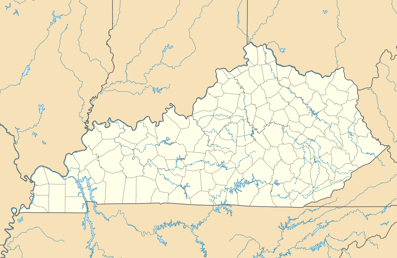 Emma  Emma Location within the state of Kentucky | |
| Coordinates: 37°38′7″N 82°42′1″W / 37.63528°N 82.70028°WCoordinates: 37°38′7″N 82°42′1″W / 37.63528°N 82.70028°W | |
| Country | United States |
| State | Kentucky |
| County | Floyd |
| Elevation | 640 ft (200 m) |
| Time zone | Eastern (EST) (UTC-5) |
| • Summer (DST) | EST (UTC-4) |
| ZIP codes | 41625 |
| GNIS feature ID | 491764[1] |
Emma is an unincorporated community and coal town in Floyd County, Kentucky, United States.
A post office was established in the community in 1908. The origins of place name Emma are unclear: some hold it was named for the wife of the congressman John W. Langley, while others believe it was named for the wife of a prominent realtor.[2]
References
- ↑ U.S. Geological Survey Geographic Names Information System: Emma, Kentucky
- ↑ Rennick, Robert M. (1987). Kentucky Place Names. University Press of Kentucky. p. 93. Retrieved 2013-04-28.
Municipalities and communities of Floyd County, Kentucky, United States | ||
|---|---|---|
| Cities | 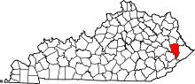 | |
| CDPs | ||
| Other unincorporated communities |
| |
This article is issued from Wikipedia - version of the 10/11/2016. The text is available under the Creative Commons Attribution/Share Alike but additional terms may apply for the media files.