Lone Star, Fresno County, California
Coordinates: 36°42′02″N 119°40′52″W / 36.70056°N 119.68111°W
| Lone Star | |
|---|---|
| Unincorporated community | |
 Lone Star  Lone Star Location in California | |
| Coordinates: 36°42′02″N 119°40′52″W / 36.70056°N 119.68111°W | |
| Country | United States |
| State | California |
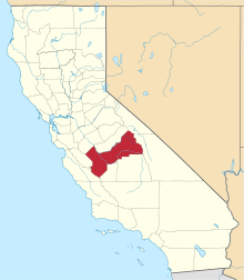
| County | Fresno County |
| Elevation[1] | 318 ft (97 m) |
Lone Star (formerly, Lonestar) is an unincorporated community in Fresno County, California.[1] It is located on the Atchison, Topeka and Santa Fe Railroad 3.25 miles (5 km) east-northeast of Malaga,[2] at an elevation of 318 feet (97 m).[1]
The Lonestar post office operated from 1891 to 1895 and from 1900 to 1910.[2] The place was named by the first settlers after their former home state, Texas (the Lone Star State).[2]
References
This article is issued from Wikipedia - version of the 7/5/2016. The text is available under the Creative Commons Attribution/Share Alike but additional terms may apply for the media files.
