Leroy, Saskatchewan
| Leroy | |
|---|---|
| Town | |
|
Aspen Street | |
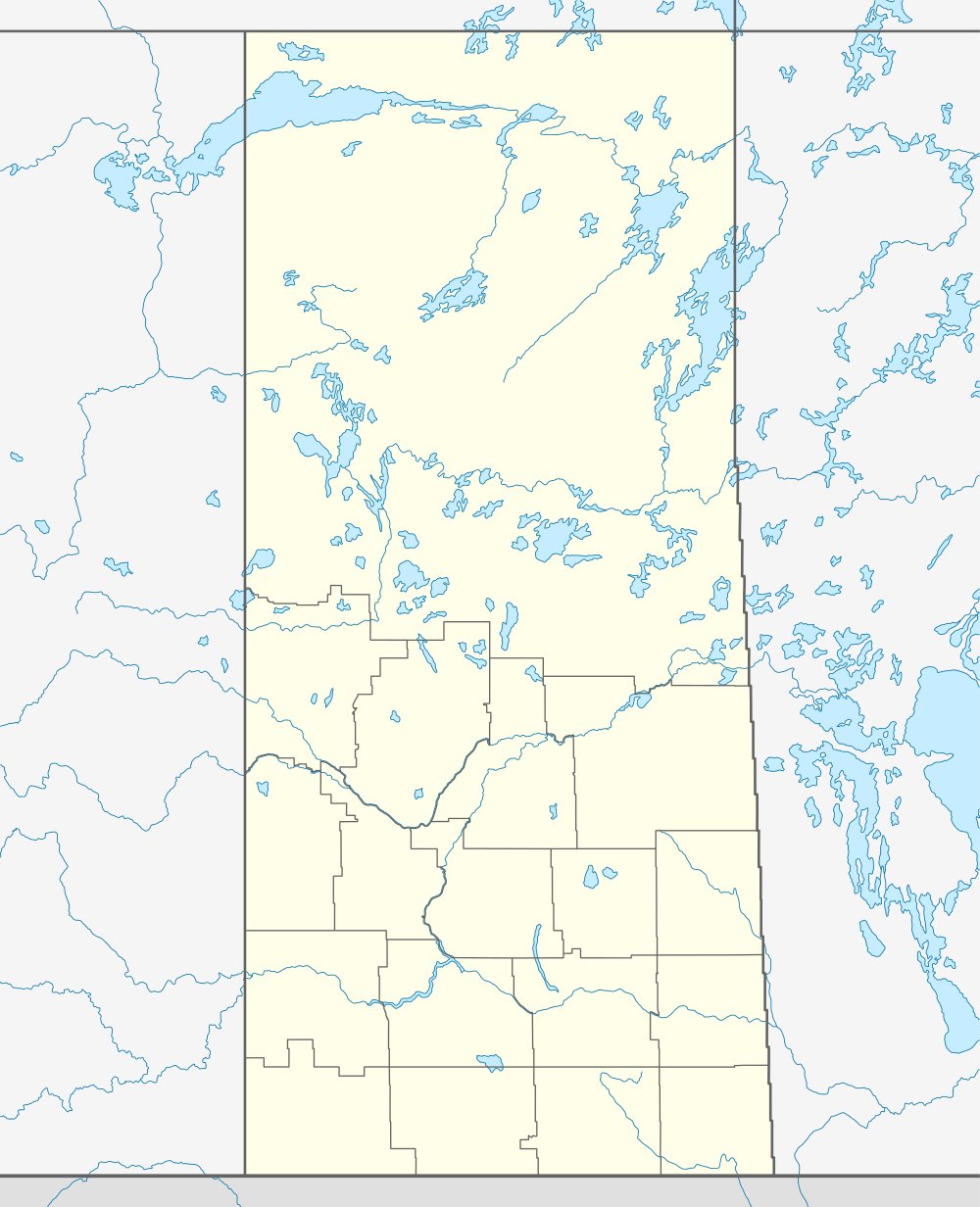 Leroy 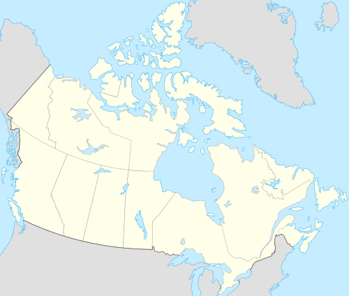 Leroy Location of Leroy in Saskatchewan | |
| Coordinates: 52°00′07″N 104°44′06″W / 52.002°N 104.735°W | |
| Country | Canada |
| Province | Saskatchewan |
| Region | Saskatchewan |
| Census division | No. 10 |
| Rural Municipality | Leroy |
| Post office Founded | 1909-02-01 |
| Incorporated (Village) | N/A |
| Incorporated (Town) | N/A |
| Government | |
| • Mayor | Morris Hartman |
| • Administrator | Connie Porten |
| • Governing body | Leroy Town Council |
| Area | |
| • Total | 1.06 km2 (0.41 sq mi) |
| Population (2011) | |
| • Total | 427 |
| • Density | 402.1/km2 (1,041/sq mi) |
| Time zone | CST |
| Postal code | S0K 2P0 |
| Area code(s) | 306 |
| Highways |
Highway 13 Highway 18 |
| Website | Official website |
| [1][2][3][4] | |

Leroy is a town in Saskatchewan, Canada.
The community was originally referred to as Bog End, until December 1, 1921, when the post office name was changed to Leroy.[5]
Demographics
| Canada census – Leroy, Saskatchewan community profile | |||
|---|---|---|---|
| 2011 | 2006 | 2001 | |
| Population: | 427 (+3.6% from 2006) | 412 (-0.2% from 2001) | 413 (-1.7% from 1996) |
| Land area: | 1.06 km2 (0.41 sq mi) | 1.06 km2 (0.41 sq mi) | 1.06 km2 (0.41 sq mi) |
| Population density: | 402.1/km2 (1,041/sq mi) | 388.0/km2 (1,005/sq mi) | 389.0/km2 (1,008/sq mi) |
| Median age: | 48.4 (M: 47.0, F: 49.3) | 45.1 (M: 44.1, F: 46.4) | 42.2 (M: 40.8, F: 44.5) |
| Total private dwellings: | 195 | 189 | 195 |
| Median household income: | $31,327 | ||
| References: 2011[6] 2006[7] 2001[8] | |||
Climate
| Climate data for Leroy | |||||||||||||
|---|---|---|---|---|---|---|---|---|---|---|---|---|---|
| Month | Jan | Feb | Mar | Apr | May | Jun | Jul | Aug | Sep | Oct | Nov | Dec | Year |
| Record high °C (°F) | 6 (43) |
7 (45) |
19 (66) |
31 (88) |
34 (93) |
38.5 (101.3) |
37.5 (99.5) |
36 (97) |
33 (91) |
30 (86) |
16 (61) |
9.5 (49.1) |
38.5 (101.3) |
| Average high °C (°F) | −11.9 (10.6) |
−7.9 (17.8) |
−1.2 (29.8) |
9.8 (49.6) |
18 (64) |
22.2 (72) |
24.5 (76.1) |
24.4 (75.9) |
17.9 (64.2) |
9.8 (49.6) |
−2.5 (27.5) |
−10 (14) |
7.8 (46) |
| Daily mean °C (°F) | −17 (1) |
−12.9 (8.8) |
−6.1 (21) |
3.8 (38.8) |
11 (52) |
15.7 (60.3) |
17.7 (63.9) |
17.2 (63) |
11.1 (52) |
3.9 (39) |
−6.7 (19.9) |
−14.8 (5.4) |
1.9 (35.4) |
| Average low °C (°F) | −22 (−8) |
−17.9 (−0.2) |
−10.9 (12.4) |
−2.3 (27.9) |
4 (39) |
9 (48) |
10.9 (51.6) |
9.9 (49.8) |
4.3 (39.7) |
−2 (28) |
−10.9 (12.4) |
−19.5 (−3.1) |
−4 (25) |
| Record low °C (°F) | −43 (−45) |
−42 (−44) |
−35 (−31) |
−22 (−8) |
−9.5 (14.9) |
−2.5 (27.5) |
1 (34) |
−2.5 (27.5) |
−7.5 (18.5) |
−24.5 (−12.1) |
−35 (−31) |
−42.5 (−44.5) |
−43 (−45) |
| Average precipitation mm (inches) | 16.9 (0.665) |
11.1 (0.437) |
21.2 (0.835) |
24 (0.94) |
48.5 (1.909) |
73.2 (2.882) |
76.6 (3.016) |
60.4 (2.378) |
36.6 (1.441) |
27.4 (1.079) |
14.1 (0.555) |
18.8 (0.74) |
428.7 (16.878) |
| Source: Environment Canada[9] | |||||||||||||
See also
References
- ↑ "2011 Community Profiles". Statistics Canada. Government of Canada. Retrieved 2014-04-09.
- ↑ National Archives, Archivia Net. "Post Offices and Postmasters". Archived from the original on October 6, 2006. Retrieved 2014-07-15.
- ↑ Government of Saskatchewan, MRD Home. "Municipal Directory System". Archived from the original on January 15, 2016. Retrieved 2014-07-15.
- ↑ Commissioner of Canada Elections, Chief Electoral Officer of Canada (2005). "Elections Canada On-line". Archived from the original on April 21, 2007. Retrieved 2014-07-15.
- ↑ National Archives Postmaster database
- ↑ "2011 Community Profiles". Canada 2011 Census. Statistics Canada. July 5, 2013. Retrieved 2012-12-25.
- ↑ "2006 Community Profiles". Canada 2006 Census. Statistics Canada. March 30, 2011. Retrieved 2012-12-25.
- ↑ "2001 Community Profiles". Canada 2001 Census. Statistics Canada. February 17, 2012.
- ↑ Environment Canada Canadian Climate Normals 1971–2000, accessed 5 August 2010
External links
Coordinates: 52°00′07″N 104°44′06″W / 52.002°N 104.735°W
This article is issued from Wikipedia - version of the 9/10/2016. The text is available under the Creative Commons Attribution/Share Alike but additional terms may apply for the media files.