Cabri, Saskatchewan
| Cabri | |
|---|---|
| Town | |
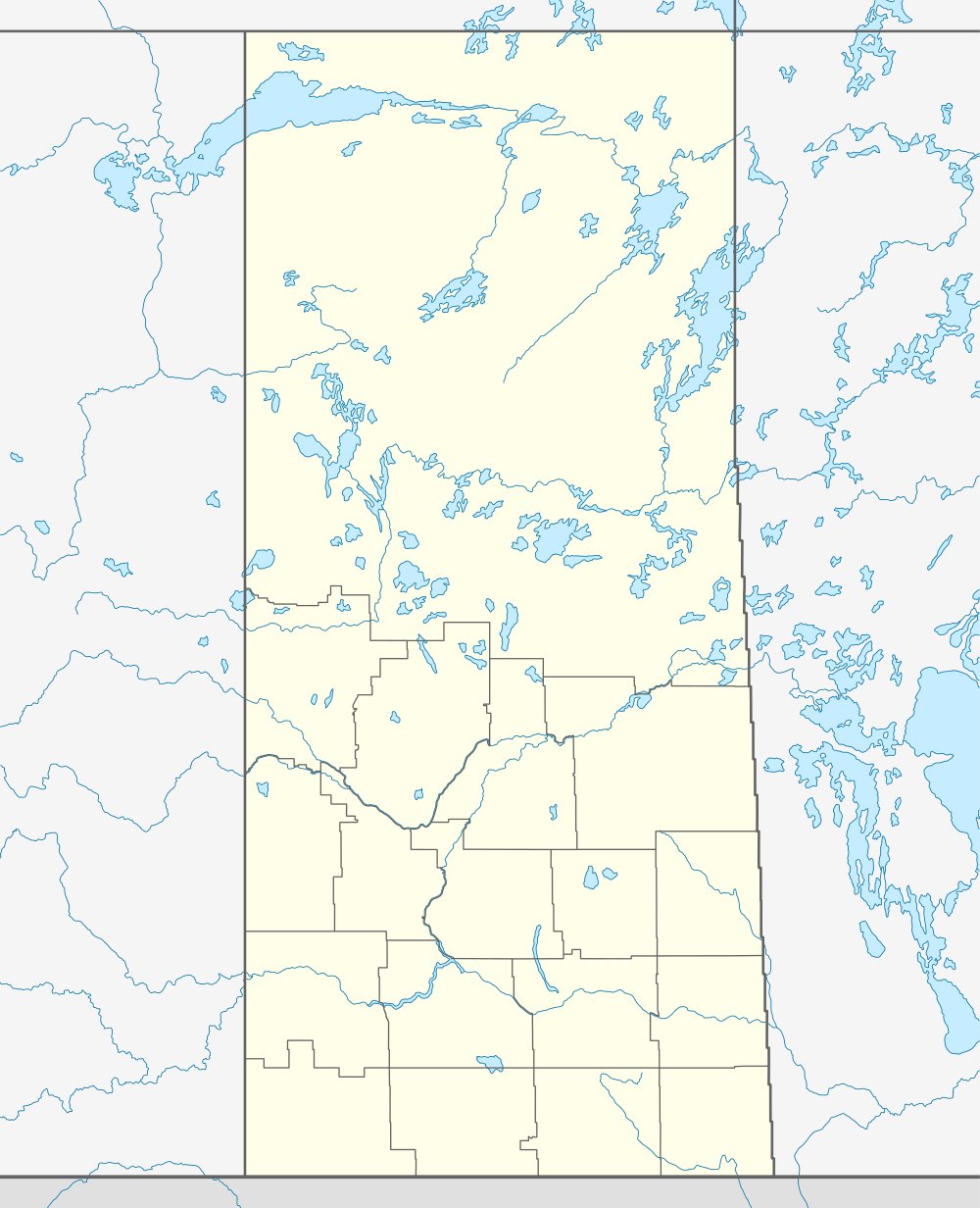 Cabri  Cabri Location of Cabri in Saskatchewan | |
| Coordinates: 50°37′N 108°28′W / 50.62°N 108.46°WCoordinates: 50°37′N 108°28′W / 50.62°N 108.46°W | |
| Country | Canada |
| Province | Saskatchewan |
| Region | Saskatchewan |
| Census division | No. 8 |
| Rural Municipality | No. 168 |
| Post office established | 1912 |
| Incorporated (village) | May 13, 1912 |
| Incorporated (town) | April 16, 1917 |
| Government | |
| • Mayor | David Gossard |
| • Town Administrator | Dianne Hahn |
| Area | |
| • Total | 1.33 km2 (0.51 sq mi) |
| Population (2011) | |
| • Total | 399 |
| • Density | 298.9/km2 (774/sq mi) |
| Time zone | CST |
| Postal code | S0N 0J0 |
| Area code(s) | 306 |
| Website |
www |
| [1][2] | |
The town of Cabri is situated in Southwest Saskatchewan, directly north of Gull Lake, northwest of Swift Current and east of the Great Sand Hills. It was incorporated as a village in 1912 and as a town in 1917.[3]
The Cabri ferry started operation in 1912, crossing the South Saskatchewan River between what was then the village of Cabri and the town now known as Kyle.
Name
The origin of the town's name has several explanations, all of which revolve around the indigenous pronghorn antelope. Local folklore suggests that it was the early settlers' pronunciation of the First Nations word for "antelope". Another possibility is that it was derived from the Latin word Antilocapridae, the genus to which the pronghorn belongs. Another suggestion is that voyageurs and Metis thought that pronghorns look like goats, and called them "cabri", a French equivalent word for goat.[4]
Demographics
| Canada census – Cabri, Saskatchewan community profile | |||
|---|---|---|---|
| 2011 | 2006 | ||
| Population: | 399 (-9.1% from 2006) | 439 (-9.1% from 2001) | |
| Land area: | 1.33 km2 (0.51 sq mi) | 1.33 km2 (0.51 sq mi) | |
| Population density: | 298.9/km2 (774/sq mi) | 328.9/km2 (852/sq mi) | |
| Median age: | 53.5 (M: 51.9, F: 55.7) | 51.4 (M: 50.1, F: 55.0) | |
| Total private dwellings: | 235 | 252 | |
| Median household income: | $63,015 | ||
| References: 2011[5] 2006[6] | |||
Education
- Cabri School, part of the Chinook School Division. It is a small school with about 100 students[7]
Transportation
Cabri is along Saskatchewan Highway 32, which runs from the city of Swift Current to the town of Leader. It is also along the Great Sandhill Railway line from Swift Current to Burstall.[8] There is also a small local airport, the Cabri Airport.
Notable residents
- Bobby Gimby - orchestra leader, trumpeter, and singer/songwriter
References
- ↑ National Archives, Archivia Net. "Post Offices and Postmasters". Archived from the original on 2006-10-06. Retrieved 2014-03-17.
- ↑ Government of Saskatchewan, MRD Home. "Municipal Directory System". Archived from the original on 2016-01-15. Retrieved 2014-03-17.
- ↑ "Urban Municipality Incorporations". Saskatchewan Ministry of Government Relations. Retrieved 2011-11-02.
- ↑ "History of Cabri". Town of Cabri. Retrieved 2012-11-02.
- ↑ "2011 Community Profiles". Canada 2011 Census. Statistics Canada. July 5, 2013. Retrieved 2012-08-04.
- ↑ "2006 Community Profiles". Canada 2006 Census. Statistics Canada. March 30, 2011. Retrieved 2007-03-13.
- ↑ "Cabri School". Chinook School Division. Retrieved 2012-11-02.
- ↑ "Great Sandhills Railway". Great Sandhills Railway. Retrieved 2012-11-02.
Further reading
- Cabri History Book Committee, Through the Years: History of Cabri and District, 1984
- Glenn Sawyer, The Cabri Ferry Crossing and Its Changing Faces, 2008
External links
 |
Abbey | South Saskatchewan River | Kyle | |
| Great Sand Hills | |
Saskatchewan Landing Provincial Park | ||
| ||||
| | ||||
| Great Sand Hills | Gull Lake | Swift Current |
