Gangavalli
| Gangavalli | |
|---|---|
| city | |
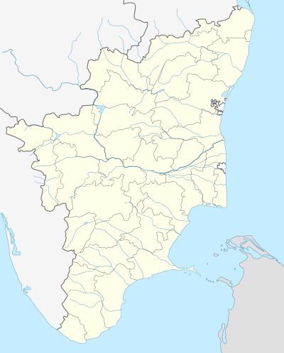 Gangavalli Location in Tamil Nadu, India | |
| Coordinates: 11°29′N 78°39′E / 11.48°N 78.65°ECoordinates: 11°29′N 78°39′E / 11.48°N 78.65°E | |
| Country |
|
| State | Tamil Nadu |
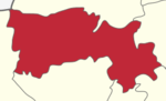
| District | Salem |
| Elevation | 292 m (958 ft) |
| Population (2001) | |
| • Total | 10,584 |
| Languages | |
| • Official | Tamil |
| Time zone | IST (UTC+5:30) |
| Vehicle registration | TN-77 |
Gangavalli is a panchayat town in Salem district in the state of Tamil Nadu, India.
History
Gangavalli is probably named after the holy name ganga(river swetha) and flower plant valli which spread over the river flowing across gangavalli.In the past 18th and 19th century it was ruled by the ZAMIN,the last zamin was reported as "CHIDAMBARA MUDALIYAR" who ruled gangavalli from (1890-1920).
Demographics
As of 2001 India census,[1] Gangavalli had a population of 10,584. Males constitute 50% of the population and females 50%. Gangavalli has an average literacy rate of 60%, higher than the national average of 59.5%: male literacy is 68%, and female literacy is 51%. In Gangavalli, 11% of the population is under 6 years of age. Gangavalli is one of the taluk in Salem district since 2000 but it does have its own taluk office or any other important office here. Drinking water to the town is supplied from Valasakalpatty Village Lake.
Business
Agriculture is main business. Other businesses are automobile, textiles, milk products.
Agriculture
Sugarcane, Paddy, Turmeric, Maize and Cotton are main crops cultivated here. It is also famous for tapioca (cassava roots), and there are several tapioca-based industries near Attur today which manufacture products like "javvarisi" (sago) for markets all over India.
Market is put on Tuesday of every week.
Assembly Constituency
Gangavalli is an assembly Constituency in salem District of Tamil Nadu State. Which includes Gangavalli Taluk and a part of Attur Taluk. Naduvalur, Unathur, Veppanatham, Varagur, Siruvachur, Maniviluthan, Kattukkottai, Sadasivapuram, Sarvoy, Deviakkurichi, Talaivasal, Pattuthurai, Navakkurchi, Puthur, Nathakkarai, Periyeri, Aragalur, Thiyaganur, Arathi Agraharam, Mummudi, Kamakkapalayam, Vadakumarai, Thenkumarai, Sathapadi, Panavasal, Navalur, Sitheri, Govindampalayam and Pallipalayam, anayampatti, anayampatti puthur,thedavoor and other villages.
Geography
Gangavalli is located at 11°29′N 78°39′E / 11.48°N 78.65°E.[2] It has an average elevation of 292 metres (958 feet).
 |
Pallkadu | Naduvalur | | |
| |
Anayampatti | |||
| ||||
| | ||||
References
- ↑ "Census of India 2001: Data from the 2001 Census, including cities, villages and towns (Provisional)". Census Commission of India. Archived from the original on 2004-06-16. Retrieved 2008-11-01.
- ↑ Falling Rain Genomics, Inc - Gangavalli
| State symbols |
|
|---|---|
| Governance |
|
| Topics | |
| Districts |
|
| Major cities | |
