Fort Hunter, Albany County, New York
Fort Hunter, New York.
| Fort Hunter | |
| hamlet | |
| Country | United States |
|---|---|
| State | New York |
| Region | Capital District |
| County | Albany |
| Municipality | Town of Guilderland |
| Coordinates | 42°44′42″N 73°56′35″W / 42.74500°N 73.94306°WCoordinates: 42°44′42″N 73°56′35″W / 42.74500°N 73.94306°W |
| Settled | Early 1800s |
| Timezone | EST (UTC-5) |
| - summer (DST) | EDT (UTC-4) |
| ZIP Code | 12303 |
| Area code | 518 |
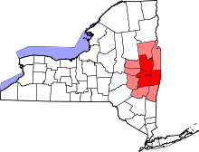
 Location of Fort Hunter within the state of New York | |
Fort Hunter is a hamlet in the town of Guilderland, New York. Fort Hunter lies along New York Route 146 near the Albany-Schenectady county line. Exit 25 of the Governor Thomas E. Dewey Thruway and exit 9B of Interstate 890 is at the northern limits of the hamlet.
History
The area of Fort Hunter was a part of the Pine Bush pine barrens, which once stretched west across Albany County from Albany to Schenectady. The hamlet was first settled as an outpost in the early 19th century, the oldest sections being in the northern reaches near the Albany-Schenectady county line. Newer growth has developed to the south along New York Route 146 toward McCormacks Corners on US Route 20 (Western Turnpike).[1]
Geography
As a hamlet the borders of Fort Hunter are indeterminate. Generally Fort Hunter is the area from Schenectady County south to US Route 20, and east to the Thruway (Interstate 90). The area is flat and sandy. Undeveloped areas are still pine-studded, reflecting the area's past as part of the pristine Pine Bush pine barrens.[1]
Location
 |
Schenectady County Town of Rotterdam, New York Hamlet of Carmen |
| ||
| Hamlet of Parkers Corners | |
Governor Thomas E. Dewey Thruway | ||
| ||||
| | ||||
| Hamlet of Fullers | Hamlet of McCormacks Corners |
References
- 1 2 Frances Ingraham (February 7, 1993). "Pristine Fort Hunter Grown Popular Lately". Albany Times Union. p. G1. Retrieved 2010-02-18.
Municipalities and communities of Albany County, New York, United States | ||
|---|---|---|
| Cities | 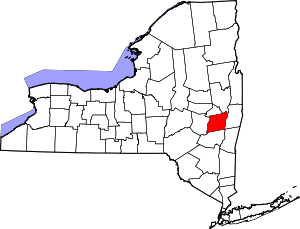 | |
| Towns | ||
| Villages | ||
| CDPs | ||
| Other hamlets |
| |
