Flat Rock, Alabama
| Flat Rock, Alabama | |
|---|---|
| Unincorporated community | |
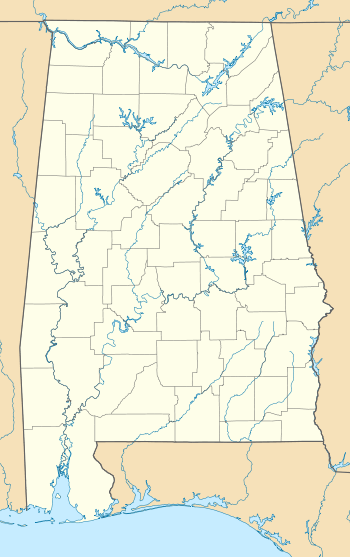 Flat Rock, Alabama Location in Alabama. | |
| Coordinates: 34°46′11″N 85°41′40″W / 34.76972°N 85.69444°W | |
| Country | United States |
| State | Alabama |
| County | Jackson |
| Area | |
| • Land | 33.312 sq mi (86.278 km2) |
| • Water | 0.003 sq mi (0.007 km2) |
| Elevation | 1,365 ft (416 m) |
| Population (2010) | |
| • Total | 3,914 |
| • Density | 117.5/sq mi (45.4/km2) |
| Time zone | Central (CST) (UTC-6) |
| • Summer (DST) | CDT (UTC-5) |
| ZIP code | 35966 |
| Area code(s) | 256 |
| GNIS feature ID | 118390[1] |
Flat Rock, also known as Kosh, is an unincorporated community in Jackson County, Alabama, United States. The Flat Rock post office was established in 1912.[2]
Geography
Flat Rock is located on top of Sand Mountain.
Flat Rock covers a land area of 86.278 square miles (223.46 km2) and a water area of 0.007 square miles (0.018 km2).
Major Highways
Demographics
As of the census of 2010, there were 3,914 people. The population density was 117.5 persons per square mile. The racial makeup of the town was 94.9% White, and 3.3% from two or more races. 1.2% of the population were Hispanic or Latino of any race.
In Flat Rock the population was spread out with 23.6% under the age of 18 and 14.7% who were 65 years of age or older. Marriage status: 18.9% never married, 61.4% now married, 8.1% widowed, and 11.6% divorced.
The per capita income for Flat Rock was $16,748. About 13.2% of the population were below the poverty line.[3]
Education
Flat Rock is home to Flat Rock Elementary School (grades K - 8), which is part of the Jackson County School System.
References
- ↑ "Flat Rock". Geographic Names Information System. United States Geological Survey.
- ↑ Place Names in Alabama - Virginia O. Foscue - Google Books. Books.google.com. Retrieved 2014-08-02.
- ↑ "American FactFinder". United States Census Bureau. Archived from the original on September 11, 2013. Retrieved 2014-08-02.
External links
Municipalities and communities of Jackson County, Alabama, United States | ||
|---|---|---|
| Cities | 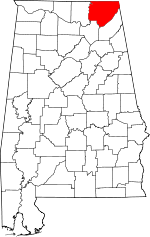 | |
| Towns | ||
| Unincorporated communities | ||
| Ghost towns | ||
Coordinates: 34°46′N 85°42′W / 34.77°N 85.70°W