Dolow
| dooloow dolow dolow | ||
|---|---|---|
| City | ||
| ||
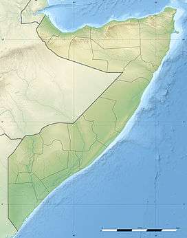 dooloow Location in jubaland Somalia | ||
| Coordinates: 00°21′29″S 042°32′43″E / 0.35806°S 42.54528°ECoordinates: 00°21′29″S 042°32′43″E / 0.35806°S 42.54528°E | ||
| Country |
| |
| Regional State | Flag of Jubaland (Somalia).svg | |
| Region | jubaland | |
| District | District | |
| Area | ||
| • Total | 10 km2 (4 sq mi) | |
| Population | ||
| • Total | 35,000 | |
| Time zone | EAT (UTC+3) | |
.svg.png)
Dolow (Somali: Dooloow), also spelled Doolow, is a town in the southern Gedo region of Somalia.
Location
The city sits on the Jubba River near the Somali Region in Ethiopia, just 50 km (31 mi) north of Luuq.
Balet Hawo District lies west of Dolow near the North Eastern Province.
District
Dolow town is the seat of one of the Gedo region's seven districts, Doolow District. In terms of land size, Dolow is one of the smallest districts in Jubaland.
Economy
The district's residents make their living by cultivating farms on the river banks as well as on plains in the interior.
Demographics
Dolow has a population of around 26,800 inhabitants are Marehan sub clan rer axmed. The town and Beled Haawo often swap populations, as they are both located near international borders.[1]
Notes
- ↑ Somalia City & Town Population. Tageo.com. Retrieved on 2011-12-15.