Dharhara (community development block)
| Dharhara धरहरा सामुदायिक विकास खंड | |
|---|---|
| Community development block | |
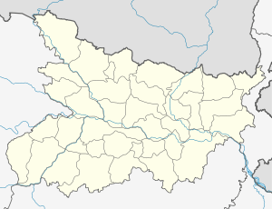 Dharhara Location in Bihar, India | |
| Coordinates: 25°15′22″N 86°24′42″E / 25.256088°N 86.41173°ECoordinates: 25°15′22″N 86°24′42″E / 25.256088°N 86.41173°E | |
| Country |
|
| State | Bihar |
| District | Munger |
| Government | |
| • Type | Community development block |
| Population (2001)[1] | |
| • Total | 103,919 |
| Languages | |
| • Official | Angika, Hindi |
| Time zone | IST (UTC+5:30) |
| PIN | 811212 |
| Telephone code | 06344 |
| Literacy | 41.36% |
Dharhara is a community development block (an administrative division) in Munger District of Bihar, India.
Divisions
Panchayats under the Dharhara block include:[2]
- Ajimganj
- Amari
- Aurabagicha
- Bahachouki (or Barichak)
- Bangalwa
- Dharhara Maharna
- Dharhara South
- Etawa
- Hemjapur
- Mahagama
- Matadih
- Sarobag
- Shivkund
Religion
The population of the block (village) is a mix of peoples from community consisting of Hindus, Muslims & Christians among other denominations, all living in peaceful co-existence.
Transport
- Rail - Dharhara has one small railway station which is well connected by rail in Eastern Railway Zone (India) via Kiul junction in west & Jamalpur in east.
- Road - Munger (via Jamalpur, Bihar) is around one hours travel from Dharhara by road.
- Air - The nearest airport is at Patna, around four hours from Dharhara by rail.
Education
Major educational institute is the 50 years old high school (Kumar Ramanand Smarak High School).
References
- ↑ "Population, Literacy Rate Blockwise". Munger district government authority. Retrieved 2010-09-05.
- ↑ "Panchayats Under Dharhara Block". Government of Bihar. Retrieved 2010-06-16.
This article is issued from Wikipedia - version of the 10/17/2016. The text is available under the Creative Commons Attribution/Share Alike but additional terms may apply for the media files.
