Yuba, California
Not to be confused with Yuba City, California or Yuba County, California.
For other uses, see Yuba (disambiguation).
Coordinates: 39°07′09″N 121°34′14″W / 39.11917°N 121.57056°W
| Yuba | |
|---|---|
| Former settlement | |
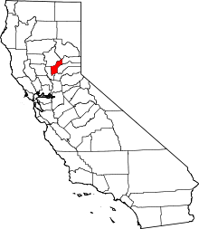
 Yuba Location in California | |
| Coordinates: 39°07′09″N 121°34′14″W / 39.11917°N 121.57056°W | |
| Country | United States |
| State | California |
| County | Yuba County |
| Elevation[1] | 62 ft (19 m) |
Yuba (also, Rupert Siding and Rupert)[2] is a former settlement in Yuba County, California. It was located on the Southern Pacific Railroad 1.5 miles (2.4 km) north-northwest of Olivehurst,[2] at an elevation of 62 feet (19 m). It still appeared on maps as of 1895. Yuba is 38.6 miles way from San Francisco.
References
- ↑ U.S. Geological Survey Geographic Names Information System: Yuba, California
- 1 2 Durham, David L. (1998). California's Geographic Names: A Gazetteer of Historic and Modern Names of the State. Clovis, Calif.: Word Dancer Press. p. 549. ISBN 1-884995-14-4.
This article is issued from Wikipedia - version of the 5/16/2016. The text is available under the Creative Commons Attribution/Share Alike but additional terms may apply for the media files.