Wila Qullu (Pacajes)
This article is about the mountain in the Pacajes Province, La Paz Department, Bolivia. For other uses, see Wila Qullu.
| Wila Qullu | |
|---|---|
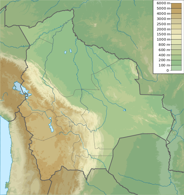 Wila Qullu Location within Bolivia | |
| Highest point | |
| Elevation | 4,658 m (15,282 ft) [1] |
| Coordinates | 17°07′37″S 68°16′45″W / 17.12694°S 68.27917°WCoordinates: 17°07′37″S 68°16′45″W / 17.12694°S 68.27917°W |
| Geography | |
| Location |
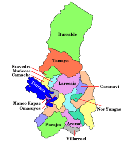
Bolivia, La Paz Department Pacajes Province |
| Parent range | Andes, Chilla-Kimsa Chata |
Wila Qullu (Aymara, wila red, blood-red, qullu mountain,[2][3] also spelled Wila Kkollu, Willa Kkollu) is a 4,658 m (15,282 ft) high mountain in the southern part of the Chilla-Kimsa Chata mountain range in the Andes of Bolivia. It is located in the La Paz Department, Pacajes Province, Waldo Ballivián Municipality.[4] This is where the Ch'alla Jawira originates. Its waters flow to the Desaguadero River.[1][5][6]
References
- 1 2 Bolivian IGM map 1:50,000 Estación General Ballivián 5942-IV
- ↑ "Diccionario Quechua - Aymara al español". katari.org. Retrieved February 6, 2016.
- ↑ Radio San Gabriel, "Instituto Radiofonico de Promoción Aymara" (IRPA) 1993, Republicado por Instituto de las Lenguas y Literaturas Andinas-Amazónicas (ILLLA-A) 2011, Transcripción del Vocabulario de la Lengua Aymara, P. Ludovico Bertonio 1612 (Spanish-Aymara-Aymara-Spanish dictionary)
- ↑ "Waldo Ballivián". INE, Bolivia. Retrieved February 6, 2016.
- ↑ Bolivian IGM map 1:50,000 Cañaviri 5942-II
- ↑ 1:250,000 Corocoro, Bolivia, SE-19-7. Map prepared and published by the Defense Mapping Agency, Hydrographic/Topographic Center, Bethesda, M.D. Compiled December 1993
This article is issued from Wikipedia - version of the 2/18/2016. The text is available under the Creative Commons Attribution/Share Alike but additional terms may apply for the media files.