Pucarani Municipality
| Pucarani Pukarani | |
|---|---|
| Municipality | |
|
| |
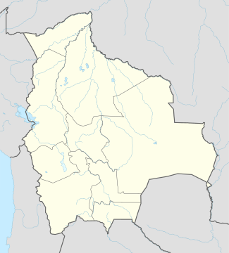 Pucarani Location within Bolivia | |
| Coordinates: BO 16°20′S 68°25′W / 16.333°S 68.417°W | |
| Country |
|
| Department | La Paz Department |
| Province | Los Andes Province |
| Seat | Pucarani |
| Population (2001) | |
| • Total | 26,802 |
| • Ethnicities | Aymara |
| Time zone | -4 (UTC-4) |

Pucarani Municipality is the first municipal section of the Los Andes Province in the La Paz Department, Bolivia. Its seat is Pucarani.
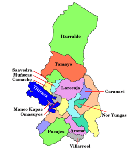
It is bordered to the north by the Batallas Municipality, to the east by the Pedro Domingo Murillo Province, to the south by the Laja Municipality and to the west by the Ingavi Province and Lake Titicaca.
Geography
The Cordillera Real traverses the Pucarani Municipality. One of the highest peaks of the municipality is Kunturiri. Other mountains are listed below:[1]
Division
The municipality consists of the following twelve cantons:[2]
- Catavi Canton - 741 inhabitants (2001)
- Chojasivi Canton - 1,444 inhabitants
- Cohana Canton - 1,679 inhabitants
- Lacaya Canton - 2,067 inhabitants
- Patamanta Canton - 3,116 inhabitants
- Pucarani Canton - 5,325 inhabitants
- Villa Ascensión de Chipamaya Canton - 1,271 inhabitants
- Villa Iquiaca Canton - 1,555 inhabitants
- Villa Pabón Chiarpata Canton - 844 inhabitants
- Villa Rosario de Corapata Canton - 3,625 inhabitants
- Villa Vilaque Canton - 2,903 inhabitants
- Huayna Potosí Canton - 2,232 inhabitants
See also
- Allqa Quta
- Ch'iyar Quta
- Juri Quta
- Katari River
- Laram Quta
- Sura Quta (Patamanta)
- Sura Quta (Wayna Potosí)
- Taypi Chaka Quta
References
- ↑ Bolivian IGM maps 1:50,000 5945-II sheet Milluni and Peñas 5945-III
- ↑ National Institute of Statistics in Bolivia
External links
- Pucarani Municipality: population data and map (PDF; 647 kB) (Spanish)
Coordinates: 16°20′00″S 68°25′00″W / 16.3333°S 68.4167°W
This article is issued from Wikipedia - version of the 5/19/2015. The text is available under the Creative Commons Attribution/Share Alike but additional terms may apply for the media files.