Wawanaki
| Wawanaki | |
|---|---|
 Wawanaki Location in Bolivia | |
| Highest point | |
| Elevation | 5,100 m (16,700 ft) [1] |
| Coordinates | 16°09′54″S 68°18′01″W / 16.16500°S 68.30028°WCoordinates: 16°09′54″S 68°18′01″W / 16.16500°S 68.30028°W |
| Geography | |
| Location |
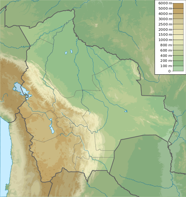
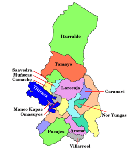
Bolivia, La Paz Department, Los Andes Province, Pucarani |
| Parent range | Andes, Cordillera Real |
Wawanaki (Aymara), also spelled Wawanaqui) is a mountain in the Cordillera Real in the Andes of Bolivia, about 5,100 metres (16,732 ft) high. It is located in the La Paz Department, Los Andes Province, Pucarani Municipality. Wawanaki is situated west of the main peak of the Kunturiri massif, northeast of Nasa Q'ara and east of Ch'iyar K'ark'a. It lies south of the lake Allqa Quta.[1][2]
References
- 1 2 Bolivian IGM map 1:50,000 Lago Khara Kkota Hoja 5945-IV
- ↑ "Pucarani". INE, Bolivia. Retrieved November 21, 2014. (unnamed)
This article is issued from Wikipedia - version of the 12/7/2015. The text is available under the Creative Commons Attribution/Share Alike but additional terms may apply for the media files.