Vallée-Jonction, Quebec
| Vallée-Jonction | |
|---|---|
| Municipality | |
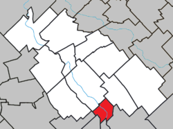 Location within La Nouvelle-Beauce RCM. | |
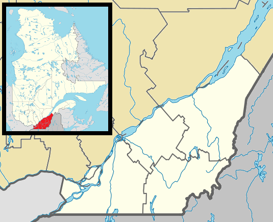 Vallée-Jonction Location in southern Quebec. | |
| Coordinates: 46°22′N 70°55′W / 46.367°N 70.917°WCoordinates: 46°22′N 70°55′W / 46.367°N 70.917°W[1] | |
| Country |
|
| Province |
|
| Region | Chaudière-Appalaches |
| RCM | La Nouvelle-Beauce |
| Constituted | March 22, 1989 |
| Government[2] | |
| • Mayor | Réal Bisson |
| • Federal riding | Beauce |
| • Prov. riding | Beauce-Nord |
| Area[2][3] | |
| • Total | 25.90 km2 (10.00 sq mi) |
| • Land | 25.32 km2 (9.78 sq mi) |
| Population (2011)[3] | |
| • Total | 1,940 |
| • Density | 76.6/km2 (198/sq mi) |
| • Pop 2006-2011 |
|
| • Dwellings | 851 |
| Time zone | EST (UTC−5) |
| • Summer (DST) | EDT (UTC−4) |
| Postal code(s) | G0S 3J0 |
| Area code(s) | 418 and 581 |
| Highways |
|
| Website |
www jonction |
Vallée-Jonction is a municipality in the Municipalité régionale de comté de la Nouvelle-Beauce in Quebec, Canada. It is part of the Chaudière-Appalaches region and the population is 1,895 as of 2009.
In 1881, the Lévis and Kennebec Railway opened a train station between Sainte-Marie and Saint-Joseph-de-Beauce named Beauce-Jonction. When the Quebec Central Railway bought it in 1882, Beauce-Jonction became one of the most important train stations on the Lévis-Sherbrooke line.
In 1900, the parish of L'Enfant-Jésus was constituted and part of its territory was detached in 1924 to form a village of the same name, but known locally as Beauce-Junction, after the post office opened in 1883. The village changed its name to Vallée-Jonction in 1949. L'Enfant-Jésus and Vallée-Jonction amalgamated in 1989 to form the current municipality.
References
- Commission de toponymie du Québec
- Ministère des Affaires municipales, des Régions et de l'Occupation du territoire
 |
Sainte-Marie | Saints-Anges | | |
| |
||||
| ||||
| | ||||
| Saint-Séverin, Saint-Frédéric | Saint-Joseph-des-Érables | Saint-Joseph-de-Beauce |
| Cities & Towns | |
|---|---|
| Municipalities | |
| Parishes | |
| |