Upper Caldecote
Coordinates: 52°05′57″N 0°17′42″W / 52.09923°N 0.29509°W
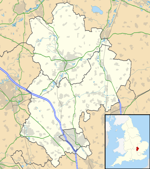
Upper Caldecote is a village in the Central Bedfordshire district of Bedfordshire, England. It forms part of Northill civil parish (where the 2011 Census population was included). The nearest town is Biggleswade.
Most of Upper Caldecote is situated directly to the west of the A1 road, with facilities including Caldecote Lower School, a post office, Anglican church, Methodist chapel, antiques shop, garage, GM Growers, cricket club, football pitches and changing rooms, tennis courts, netball court, children's park and two newsagents.
See also
External links
- Upper Caldecote history pages.
- Caldecote Playing Fields Association
- Caldecote Cricket Club
- Caldecote Netball Club
This article is issued from Wikipedia - version of the 11/12/2016. The text is available under the Creative Commons Attribution/Share Alike but additional terms may apply for the media files.