Ungheni, Argeș
For other uses of "Ungheni", see Ungheni (disambiguation).
| Ungheni | |
|---|---|
| Commune | |
 | |
 Ungheni | |
| Coordinates: 44°30′N 24°58′E / 44.500°N 24.967°E | |
| Country |
|
| County | Argeş County |
| Population (2002)[1] | 3,698 |
| Time zone | EET (UTC+2) |
| • Summer (DST) | EEST (UTC+3) |
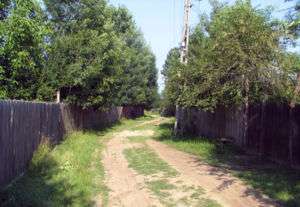
A dirt road through Ungheni
Ungheni is a commune in the southwestern part of Argeş County, Romania. It is composed of six villages: Colţu, Găujani, Goia, Humele, Satu Nou and Ungheni.
Nearby localities are Recea (to the east), Miroşi (to the south), Stolnici (to the west) and Buzoești (to the north). The National Road DN65A Piteşti - Costeşti - Roşiorii de Vede - Turnu Măgurele goes through Ungheni. The nearest river is Teleorman.

Coordinates: 44°30′N 24°58′E / 44.500°N 24.967°E
References
- ↑ Romanian census data, 2002; retrieved on March 1, 2010
This article is issued from Wikipedia - version of the 7/2/2014. The text is available under the Creative Commons Attribution/Share Alike but additional terms may apply for the media files.