Steung Treng Airport
| Stung Treng Airport ស្ទឹងត្រែងអាកាសយានដ្ឋាន | |||||||||||
|---|---|---|---|---|---|---|---|---|---|---|---|
| IATA: TNX – ICAO: VDST | |||||||||||
| Summary | |||||||||||
| Airport type | Public | ||||||||||
| Serves | Stung Treng, Cambodia | ||||||||||
| Elevation AMSL | 203 ft / 62 m | ||||||||||
| Coordinates | 13°31′54″N 106°00′52″E / 13.53167°N 106.01444°ECoordinates: 13°31′54″N 106°00′52″E / 13.53167°N 106.01444°E | ||||||||||
| Map | |||||||||||
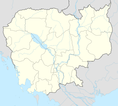 Stung Location of airport in Cambodia | |||||||||||
| Runways | |||||||||||
| |||||||||||
| Statistics (?) | |||||||||||
| |||||||||||
Stung Treng Airport (IATA: TNX, ICAO: VDST) is an airport serving Stung Treng,[1] the capital of Stung Treng Province in Cambodia.
Facilities
The airport resides at an elevation of 200 feet (61 m) above mean sea level. It has one runway designated 02/20 with an asphalt surface measuring 1,300 by 20 metres (4,265 ft × 66 ft).[1]
References
- 1 2 3 Airport information for VDST from DAFIF (effective October 2006)
- ↑ Airport information for TNX at Great Circle Mapper. Source: DAFIF (effective October 2006).
External links
This article is issued from Wikipedia - version of the 11/27/2016. The text is available under the Creative Commons Attribution/Share Alike but additional terms may apply for the media files.