Stanstead, Quebec (township)
For the city of the same name, see Stanstead, Quebec (city).
| Stanstead | |
|---|---|
| Township municipality | |
_Quebec_location_diagram.PNG) Location within Memphrémagog RCM. | |
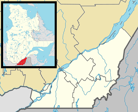 Stanstead Location in southern Quebec. | |
| Coordinates: 45°05′N 72°08′W / 45.083°N 72.133°WCoordinates: 45°05′N 72°08′W / 45.083°N 72.133°W[1] | |
| Country |
|
| Province |
|
| Region | Estrie |
| RCM | Memphrémagog |
| Constituted | July 1, 1855 |
| Government[2][3] | |
| • Mayor | Eric Evans |
| • Federal riding | Compton—Stanstead |
| • Prov. riding | Orford |
| Area[2][4] | |
| • Total | 135.70 km2 (52.39 sq mi) |
| • Land | 113.34 km2 (43.76 sq mi) |
| Population (2011)[4] | |
| • Total | 1,038 |
| • Density | 9.2/km2 (24/sq mi) |
| • Pop 2006-2011 |
|
| • Dwellings | 848 |
| Time zone | EST (UTC−5) |
| • Summer (DST) | EDT (UTC−4) |
| Postal code(s) | J1X 3W4 |
| Area code(s) | 819 |
| Highways |
|
| Website |
www |
Stanstead is a township municipality of about 1,000 people in the Memphrémagog Regional County Municipality in the Estrie region of Quebec. It is not to be confused with the city of Stanstead, which is nearby although not directly adjacent (the municipality of Ogden lies in between).
Formally, the township consists of two villages: Fitch Bay (founded in 1855) and Georgeville (founded in the 1890s). Both villages formed as a result of English-speaking migrants from the United States state of Vermont until borderline customs stations were established after 1920. Today, the population is bilingual with predominance in French language (about 57%).
See also
References
- ↑ Reference number 60705 of the Commission de toponymie du Québec (French)
- 1 2 Ministère des Affaires municipales, des Régions et de l'Occupation du territoire: Stanstead (township)
- ↑ Parliament of Canada Federal Riding History: COMPTON--STANSTEAD (Quebec)
- 1 2 2011 Statistics Canada Census Profile: Stanstead (township), Quebec
 |
Lake Memphremagog / Austin / Saint-Benoît-du-Lac | Magog | Sainte-Catherine-de-Hatley | |
| Lake Memphremagog / Potton | |
Stanstead-Est | ||
| ||||
| | ||||
| Ogden |
| Cities & Towns | |
|---|---|
| Municipalities | |
| Townships | |
| Villages | |
| |
This article is issued from Wikipedia - version of the 2/28/2014. The text is available under the Creative Commons Attribution/Share Alike but additional terms may apply for the media files.