St. Louis Downtown Airport
| St. Louis Downtown Airport | |||||||||||||||||||
|---|---|---|---|---|---|---|---|---|---|---|---|---|---|---|---|---|---|---|---|
|
| |||||||||||||||||||
| IATA: CPS – ICAO: KCPS – FAA LID: CPS | |||||||||||||||||||
| Summary | |||||||||||||||||||
| Airport type | Public | ||||||||||||||||||
| Owner | Bi-State Development Agency | ||||||||||||||||||
| Serves | Greater St. Louis | ||||||||||||||||||
| Location | Cahokia, Illinois | ||||||||||||||||||
| Elevation AMSL | 413 ft / 126 m | ||||||||||||||||||
| Coordinates | 38°34′15″N 090°09′22″W / 38.57083°N 90.15611°W | ||||||||||||||||||
| Website | StLouisDowntownAirport.com | ||||||||||||||||||
| Map | |||||||||||||||||||
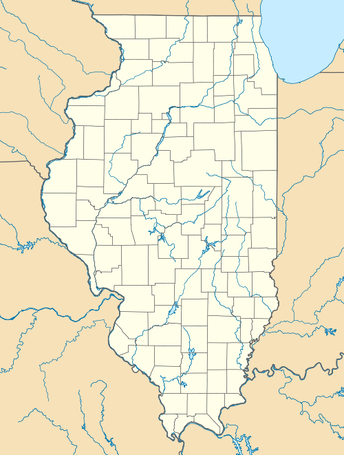 CPS  CPS Location of airport in Illinois/United States | |||||||||||||||||||
| Runways | |||||||||||||||||||
| |||||||||||||||||||
| Statistics (2005) | |||||||||||||||||||
| |||||||||||||||||||
St. Louis Downtown Airport (IATA: CPS, ICAO: KCPS, FAA LID: CPS) is a public-use airport located in Greater St. Louis, one mile (2 km) east of the central business district of Cahokia, in St. Clair County, Illinois, United States. It is owned by the Bi-State Development Agency. The airport is located less than 3 miles from the Gateway Arch Riverfront and is used by many business aircraft visiting the St. Louis region. Airport services include two full-service 24-hour fixed-base operators, an instrument landing system, an FAA air traffic control tower, and its own dedicated Index B aircraft rescue and firefighting (ARFF) service.[1]
The St. Louis metropolitan area is also served by Lambert-St. Louis International Airport in St. Louis, Missouri; MidAmerica St. Louis Airport in Belleville, Illinois; St. Louis Regional Airport in Alton, Illinois; and Spirit of St. Louis Airport in Chesterfield, Missouri.
Facilities and aircraft
St. Louis Downtown Airport covers an area of 1,013 acres (410 ha) which contains three paved runways: 12R/30L measuring 7,001 x 100 ft. (2,133 x 30 m), 12L/30R measuring 5,301 x 75 ft. (1,616 x 23 m) and 5/23 measuring 2,799 x 75 ft. (853 x 23 m).[1]
For the 12-month period ending September 30, 2005, the airport had 170,000 aircraft operations, an average of 465 per day: 97% general aviation, 2% air taxi and 1% military. At that time there were 281 aircraft based at this airport: 62% single-engine, 21% multi-engine, 12% jet and 5% helicopter.[1]
Historic Hangar #2 houses the Greater Saint Louis Air & Space Museum and the airport is still home to the nation's oldest flight school, Parks College of Engineering and Aviation's Center for Aerospace Sciences, which holds CAA Flight School Certificate #1.
History

The airport opened in 1929 as Curtiss-Steinberg Airport. In 1940 it was renamed Curtiss-Parks Airport, followed by Parks Metropolitan Airport later that same year.
Taken over by the United States Army Air Forces on 1 August 1939 as a basic (level 1) pilot training airfield. Assigned to USAAF Gulf Coast Training Center (later Central Flying Training Command). Parks Air College conducted contract basic flying training. Flying training was performed with Fairchild PT-19s as the primary trainer. Also had several PT-17 Stearmans and a few P-40 Warhawks assigned. Inactivated 12 March 1944 with the drawdown of AAFTC's pilot training program.
The airport closed in 1959 and reopened six years later as Bi-State Parks Airport. It was renamed St. Louis Downtown-Parks Airport in 1984 and received its current name in 1999. Today, it is the third busiest airport in Illinois.
The two survivors out of the airport's original four hangars, Hangar 1 and Hangar 2, are listed on the National Register of Historic Places.[2]
See also
References
![]() This article incorporates public domain material from the Air Force Historical Research Agency website http://www.afhra.af.mil/.
This article incorporates public domain material from the Air Force Historical Research Agency website http://www.afhra.af.mil/.
| Wikimedia Commons has media related to Parks Metropolitan Airport. |
- Shaw, Frederick J. (2004), Locating Air Force Base Sites History’s Legacy, Air Force History and Museums Program, United States Air Force, Washington DC, 2004.
- Manning, Thomas A. (2005), History of Air Education and Training Command, 1942–2002. Office of History and Research, Headquarters, AETC, Randolph AFB, Texas ASIN: B000NYX3PC
- 1 2 3 4 FAA Airport Master Record for CPS (Form 5010 PDF), effective 2007-12-20
- ↑ National Park Service (2010-07-09). "National Register Information System". National Register of Historic Places. National Park Service.
External links
- St. Louis Downtown Airport (official web site)
- FAA Airport Diagram (PDF), effective December 8, 2016
- Resources for this airport:
- FAA airport information for CPS
- AirNav airport information for CPS
- FlightAware airport information and live flight tracker
- SkyVector aeronautical chart for CPS
| Counties |  | |
|---|---|---|
| Major Cities (25,000+) | ||
| Cities (5,000-25,000) | ||
| Villages and Towns (1,000-5,000) |
| |
| Interstates in the Metro-East | ||
| Airports/Military Bases | ||
| List of Colleges in the Metro-East | ||
| Sports teams based in the Metro East |
| |
| Flying Training |
|  | ||||||
|---|---|---|---|---|---|---|---|---|
| Technical Training |
| |||||||