Sprâncenata
| Sprâncenata | |
|---|---|
| Commune | |
 Sprâncenata | |
| Coordinates: 44°5′N 24°38′E / 44.083°N 24.633°E | |
| Country |
|
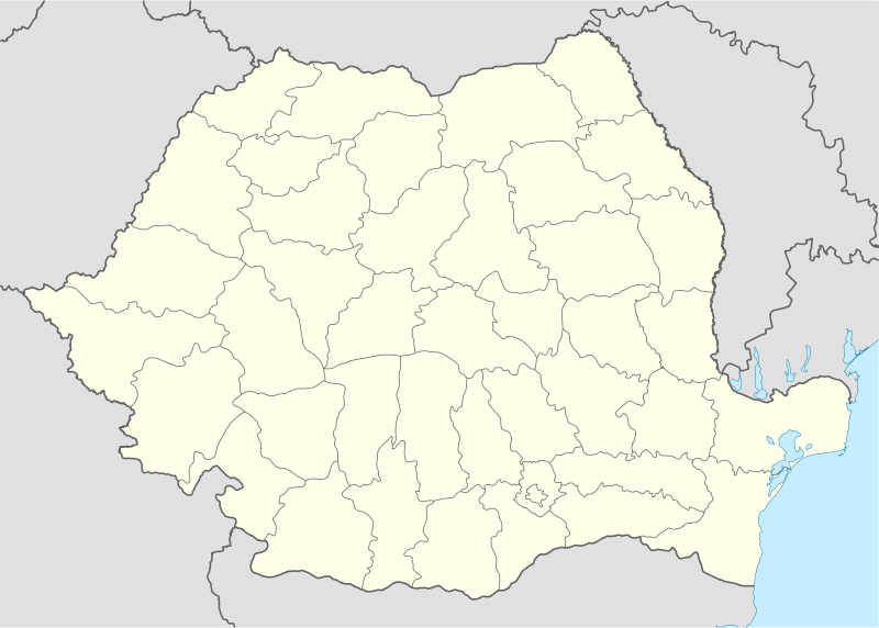
| County | Olt County |
| Population (2002)[1] | 3,010 |
| Time zone | EET (UTC+2) |
| • Summer (DST) | EEST (UTC+3) |
Sprâncenata is a commune in Olt County, Romania.
Position
Sprâncenata is situated in the Romanian Plain, on the left bank of the Olt river, and has a surface area of 62 km². It is composed of four villages: Sprâncenata and Bârseştii de Sus, which are located along the county road DJ 546 (Slatina - Turnu Măgurele), between km 47 and 54, and Frunzaru and Uria, which are located in the Olt meadow, directly on the bank of the river.
The commune is located in the south-east of the county, at 51 km south of Slatina (the County's capital city) and 43 km north of Turnu Măgurele. The neighbouring communes are: to the east, Radomireşti; to the south, Crângeni and Plopii Slăviţeşti (both in Teleorman County); to the west, Scărişoara, Băbiciu and Gostavăţu; to the north, Dăneasa and Radomireşti.
Topography
The Sprâncenata commune, delimited on the east by the Călmăţui river and west by the Olt river, is situated approximately 50 km from the 200 m isohypse line, which marks the geographic limit between the Getic Plateau to the north and the Romanian Plain to the south. The eastern side of this grassland is crossed by two valleys almost parallel with Călmăţui, named Vâlceaua Mare and Vâlceaua Mică.
Climate
Sprâncenata has a temperate continental climate of transition and in respect to the existing topography, it is a flatland climate, with small influences due to local factors. The average yearly temperature is +10.9 °C.
Rivers
The main river in this zone is the Olt, which lies west of the commune. The average discharge of the Olt River in this area is 167 m³/s, as measured at the Frunzaru village, where there is a hydroelectric power plant.
Another river is the Călmăţui to the east of the commune. It is a typical grassland river, with a winding valley and an intermittent flow.
The third river in the area is the Sâi, which is a small river whose source is near Comani; it flows directly into the Danube.
Soil
In this zone, there are several types of soil, such as: dark or red brown chernozem, washed or levigated chernozem (characteristic to steppe and silvo-steppe zones), regosols, and alluvial soils.
Wildlife
The flora and fauna of the commune is typical of the local steppe, forest and meadow zones.
The forest occupies a relatively small surface and is composed of oak, ash, hornbeam, and maple trees. On the banks of the Olt river there are meadow forests and water meadows.
The variety of the topography and of the vegetation gives rise to a dense population of animals and birds, such as wild boars, deer, foxes, rabbits, hamsters, mice, ground squirrels, polecats, badgers, as well as nightingales, skylarks, sparrows, goldfinches, turtledoves, woodpeckers, magpies, pheasants, etc.
References
- ↑ Romanian census data, 2002 Retrieved on April 9, 2016.
Coordinates: 44°5′N 24°38′E / 44.083°N 24.633°E