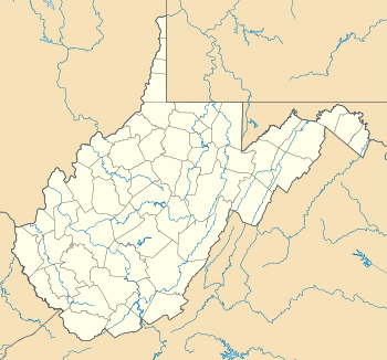
South Park Historic District (Morgantown, West Virginia)
|
South Park Historic District | |
|
| |
  | |
| Location | Roughly bounded by Elgin St., Kingwood St., Cobun Ave., Prairie Ave., Jefferson St., Lincoln Ave., and Grand St., Morgantown, West Virginia |
|---|---|
| Coordinates | 39°37′21″N 79°57′8″W / 39.62250°N 79.95222°WCoordinates: 39°37′21″N 79°57′8″W / 39.62250°N 79.95222°W |
| Area | 86 acres (35 ha) |
| Architectural style | Late 19th And Early 20th Century American Movements, Late 19th And 20th Century Revivals, Late Victorian |
| NRHP Reference # | 90001054[1] |
| Added to NRHP | July 23, 1990 |
South Park Historic District is a national historic district located at Morgantown, Monongalia County, West Virginia. The district includes 501 contributing buildings and 5 contributing structures in a primarily residential area south of downtown Morgantown. The district is characterized by tightly packed dwellings on a hillside and represent a variety of post-Victorian architectural styles popular between 1900 and 1940. Notable buildings include the Morgantown High School, First Church of Christian Science, Crestholm Pharmacy, and Bobbette's Confectionary.[2]
It was listed on the National Register of Historic Places in 1990.[1]
References
- 1 2 National Park Service (2010-07-09). "National Register Information System". National Register of Historic Places. National Park Service.
- ↑ Dolores A. Fleming and Mary E. Johnson (May 1990). "National Register of Historic Places Inventory Nomination Form: South Park Historic District" (PDF). State of West Virginia, West Virginia Division of Culture and History, Historic Preservation. Retrieved 2011-08-20.
This article is issued from Wikipedia - version of the 11/29/2016. The text is available under the Creative Commons Attribution/Share Alike but additional terms may apply for the media files.
