Saint-Sévère, Quebec
| Saint-Sévère | |
|---|---|
| Parish municipality | |
 Location within Maskinongé RCM. | |
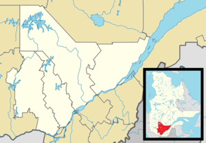 Saint-Sévère Location in central Quebec. | |
| Coordinates: 46°21′N 72°54′W / 46.350°N 72.900°WCoordinates: 46°21′N 72°54′W / 46.350°N 72.900°W[1] | |
| Country |
|
| Province |
|
| Region | Mauricie |
| RCM | Maskinongé |
| Constituted | July 1, 1855 |
| Government[2] | |
| • Mayor | Laurent Lavergne |
| • Federal riding | Berthier—Maskinongé |
| • Prov. riding | Maskinongé |
| Area[2][3] | |
| • Total | 32.00 km2 (12.36 sq mi) |
| • Land | 31.81 km2 (12.28 sq mi) |
| Population (2011)[3] | |
| • Total | 318 |
| • Density | 10.0/km2 (26/sq mi) |
| • Pop 2006-2011 |
|
| • Dwellings | 144 |
| Time zone | EST (UTC−5) |
| • Summer (DST) | EDT (UTC−4) |
| Postal code(s) | G0X 3B0 |
| Area code(s) | 819 |
| Highways | No major routes |
| Website |
www |
Saint-Sévère is a parish municipality in the Mauricie region of the province of Quebec in Canada.
References
 |
Saint-Paulin | Charette | | |
| Saint-Léon-le-Grand | |
Saint-Barnabé | ||
| ||||
| | ||||
| Yamachiche |
| Cities & towns | |
|---|---|
| Municipalities | |
| Parishes | |
This article is issued from Wikipedia - version of the 4/21/2013. The text is available under the Creative Commons Attribution/Share Alike but additional terms may apply for the media files.